W19A Sanders, AZ, USA - Earthquake Result Viewer
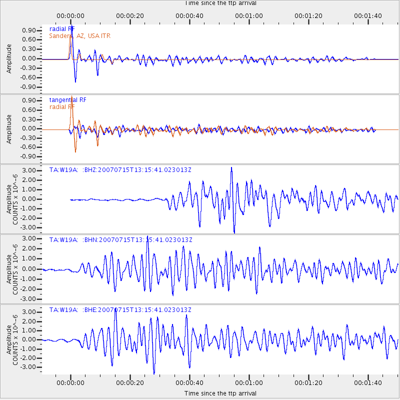
Earthquake location: Fox Islands, Aleutian Islands
Earthquake latitude/longitude: 52.5/-168.0
Earthquake time(UTC): 2007/07/15 (196) 13:08:00 GMT
Earthquake Depth: 10 km
Earthquake Magnitude: 5.8 MB, 5.9 MS, 6.1 MW, 6.0 MW
Earthquake Catalog/Contributor: WHDF/NEIC
Network: TA USArray Transportable Network (new EarthScope stations)
Station: W19A Sanders, AZ, USA
Lat/Lon: 35.11 N/109.39 W
Elevation: 1785 m
Distance: 44.5 deg
Az: 88.949 deg
Baz: 311.763 deg
Ray Param: 0.071906745
Estimated Moho Depth: 19.5 km
Estimated Crust Vp/Vs: 1.95
Assumed Crust Vp: 6.496 km/s
Estimated Crust Vs: 3.34 km/s
Estimated Crust Poisson's Ratio: 0.32
Radial Match: 95.51529 %
Radial Bump: 304
Transverse Match: 87.50564 %
Transverse Bump: 400
SOD ConfigId: 2564
Insert Time: 2010-03-06 18:01:34.037 +0000
GWidth: 2.5
Max Bumps: 400
Tol: 0.001

Signal To Noise

ChannelStoNSTALTA
TA:W19A: :BHN:20070715T13:15:41.023013Z4.63079832.5422065E-75.4897804E-8
TA:W19A: :BHE:20070715T13:15:41.023013Z5.6180623.0110334E-75.3595585E-8
TA:W19A: :BHZ:20070715T13:15:41.023013Z7.4928563.5931632E-74.795452E-8
Arrivals
Ps3.0 SECOND
PpPs8.3 SECOND
PsPs/PpSs11 SECOND