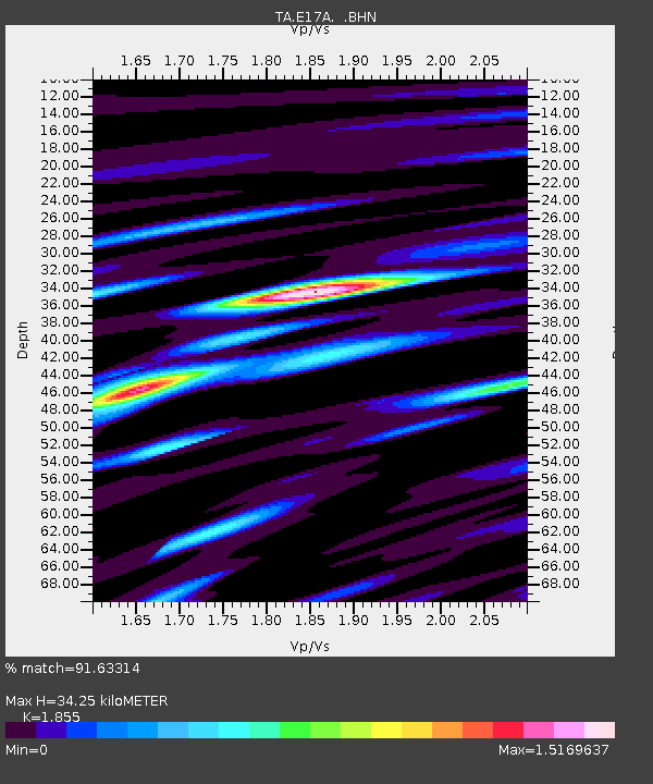
E17A Martinsdale, MT, USA - Earthquake Result Viewer

Earthquake location: Andreanof Islands, Aleutian Is.
Earthquake latitude/longitude: 52.2/-175.7
Earthquake time(UTC): 2008/08/07 (220) 18:30:03 GMT
Earthquake Depth: 12 km
Earthquake Magnitude: 5.6 MB, 5.5 MS, 5.8 MW, 5.8 MW
Earthquake Catalog/Contributor: WHDF/NEIC
Network: TA USArray Transportable Network (new EarthScope stations)
Station: E17A Martinsdale, MT, USA
Lat/Lon: 46.46 N/110.86 W
Elevation: 1835 m
Distance: 41.4 deg
Az: 71.206 deg
Baz: 302.533 deg
Ray Param: 0.07384163
Estimated Moho Depth: 34.25 km
Estimated Crust Vp/Vs: 1.86
Assumed Crust Vp: 6.306 km/s
Estimated Crust Vs: 3.399 km/s
Estimated Crust Poisson's Ratio: 0.30
Radial Match: 91.63314 %
Radial Bump: 400
Transverse Match: 69.753174 %
Transverse Bump: 400
SOD ConfigId: 2504
Insert Time: 2010-03-06 18:50:41.726 +0000
GWidth: 2.5
Max Bumps: 400
Tol: 0.001

Signal To Noise

ChannelStoNSTALTA
TA:E17A: :BHN:20080807T18:37:17.848992Z13.4177985.6329634E-74.198128E-8
TA:E17A: :BHE:20080807T18:37:17.848992Z2.20608831.0388031E-74.708801E-8
TA:E17A: :BHZ:20080807T18:37:17.848992Z4.2043151.8641126E-74.4338076E-8
Arrivals
Ps4.9 SECOND
PpPs15 SECOND
PsPs/PpSs20 SECOND