E17A Martinsdale, MT, USA - Earthquake Result Viewer
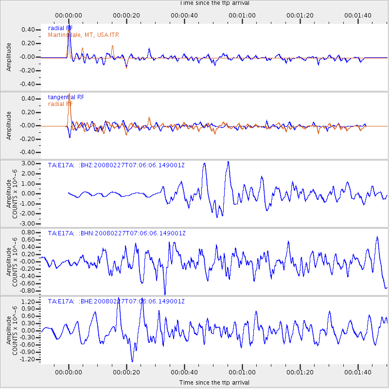
Earthquake location: Bonin Islands, Japan Region
Earthquake latitude/longitude: 26.8/142.4
Earthquake time(UTC): 2008/02/27 (058) 06:54:20 GMT
Earthquake Depth: 15 km
Earthquake Magnitude: 5.8 MB, 6.1 MS, 6.2 MW, 6.2 MW
Earthquake Catalog/Contributor: WHDF/NEIC
Network: TA USArray Transportable Network (new EarthScope stations)
Station: E17A Martinsdale, MT, USA
Lat/Lon: 46.46 N/110.86 W
Elevation: 1835 m
Distance: 81.6 deg
Az: 42.016 deg
Baz: 300.081 deg
Ray Param: 0.047487877
Estimated Moho Depth: 34.25 km
Estimated Crust Vp/Vs: 1.87
Assumed Crust Vp: 6.306 km/s
Estimated Crust Vs: 3.368 km/s
Estimated Crust Poisson's Ratio: 0.30
Radial Match: 82.721504 %
Radial Bump: 400
Transverse Match: 69.70747 %
Transverse Bump: 400
SOD ConfigId: 2564
Insert Time: 2010-03-06 18:51:04.370 +0000
GWidth: 2.5
Max Bumps: 400
Tol: 0.001

Signal To Noise

ChannelStoNSTALTA
TA:E17A: :BHN:20080227T07:06:06.149001Z0.53044887.444618E-81.4034565E-7
TA:E17A: :BHE:20080227T07:06:06.149001Z1.49021542.6704583E-71.7919949E-7
TA:E17A: :BHZ:20080227T07:06:06.149001Z3.15665754.8602027E-71.5396675E-7
Arrivals
Ps4.9 SECOND
PpPs15 SECOND
PsPs/PpSs20 SECOND