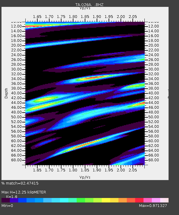
Q26A Hugo, CO, USA - Earthquake Result Viewer

Earthquake location: Near East Coast Of Honshu, Japan
Earthquake latitude/longitude: 35.5/140.9
Earthquake time(UTC): 2009/06/06 (157) 05:52:43 GMT
Earthquake Depth: 34 km
Earthquake Magnitude: 5.8 MB, 5.4 MS, 5.8 MW, 5.7 MW
Earthquake Catalog/Contributor: WHDF/NEIC
Network: TA USArray Transportable Network (new EarthScope stations)
Station: Q26A Hugo, CO, USA
Lat/Lon: 38.92 N/103.52 W
Elevation: 1546 m
Distance: 85.0 deg
Az: 44.938 deg
Baz: 312.353 deg
Ray Param: 0.0450212
Estimated Moho Depth: 12.25 km
Estimated Crust Vp/Vs: 1.60
Assumed Crust Vp: 6.242 km/s
Estimated Crust Vs: 3.901 km/s
Estimated Crust Poisson's Ratio: 0.18
Radial Match: 82.47415 %
Radial Bump: 400
Transverse Match: 70.850716 %
Transverse Bump: 400
SOD ConfigId: 2648
Insert Time: 2010-03-06 19:13:54.017 +0000
GWidth: 2.5
Max Bumps: 400
Tol: 0.001

Signal To Noise

ChannelStoNSTALTA
TA:Q26A: :BHZ:20090606T06:04:44.125012Z11.6769757.8160497E-76.693557E-8
TA:Q26A: :BHN:20090606T06:04:44.125012Z2.40788482.583445E-71.0729105E-7
TA:Q26A: :BHE:20090606T06:04:44.125012Z2.58602553.0716436E-71.1877855E-7
Arrivals
Ps1.2 SECOND
PpPs5.0 SECOND
PsPs/PpSs6.2 SECOND