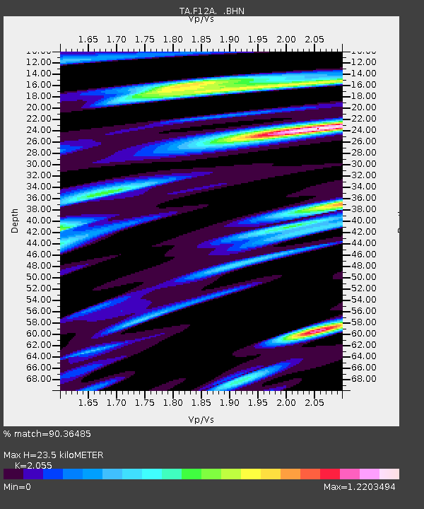
F12A Elk City, ID, USA - Earthquake Result Viewer

Earthquake location: Andreanof Islands, Aleutian Is.
Earthquake latitude/longitude: 51.9/-179.2
Earthquake time(UTC): 2008/04/16 (107) 05:54:19 GMT
Earthquake Depth: 13 km
Earthquake Magnitude: 6.1 MB, 6.5 MS, 6.6 MW, 6.6 MW
Earthquake Catalog/Contributor: WHDF/NEIC
Network: TA USArray Transportable Network (new EarthScope stations)
Station: F12A Elk City, ID, USA
Lat/Lon: 45.76 N/115.25 W
Elevation: 1442 m
Distance: 41.3 deg
Az: 72.27 deg
Baz: 302.501 deg
Ray Param: 0.07386461
Estimated Moho Depth: 23.5 km
Estimated Crust Vp/Vs: 2.06
Assumed Crust Vp: 6.577 km/s
Estimated Crust Vs: 3.2 km/s
Estimated Crust Poisson's Ratio: 0.34
Radial Match: 90.36485 %
Radial Bump: 389
Transverse Match: 72.478485 %
Transverse Bump: 400
SOD ConfigId: 2504
Insert Time: 2010-03-06 20:39:25.953 +0000
GWidth: 2.5
Max Bumps: 400
Tol: 0.001

Signal To Noise

ChannelStoNSTALTA
TA:F12A: :BHN:20080416T06:01:33.99899Z5.2022996.3437915E-71.2194208E-7
TA:F12A: :BHE:20080416T06:01:33.99899Z2.91558482.1697583E-77.441932E-8
TA:F12A: :BHZ:20080416T06:01:33.99899Z5.35581733.416941E-76.379869E-8
Arrivals
Ps4.0 SECOND
PpPs10 SECOND
PsPs/PpSs14 SECOND