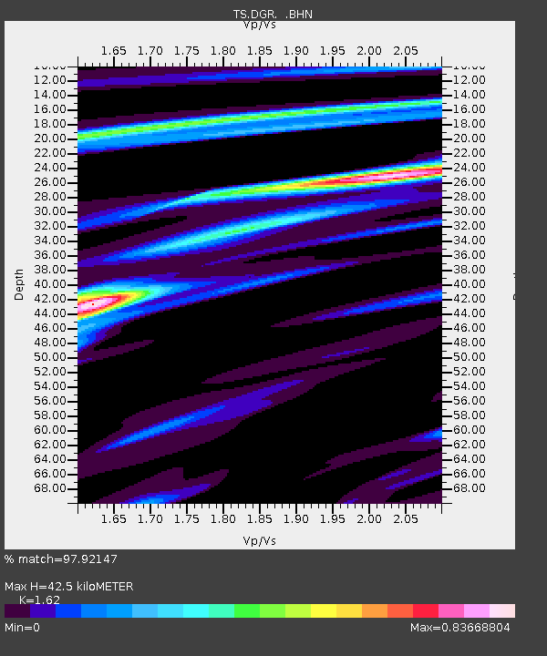
DGR Domenigoni Valley Reservior, California, USA - Earthquake Result Viewer

Earthquake location: Andreanof Islands, Aleutian Is.
Earthquake latitude/longitude: 51.6/-177.6
Earthquake time(UTC): 1996/06/10 (162) 04:03:35 GMT
Earthquake Depth: 33 km
Earthquake Magnitude: 6.6 MB, 7.6 MS, 7.9 UNKNOWN, 7.4 MS
Earthquake Catalog/Contributor: WHDF/NEIC
Network: TS TERRAscope (Southern California Seismic Network)
Station: DGR Domenigoni Valley Reservior, California, USA
Lat/Lon: 33.65 N/117.01 W
Elevation: 700 m
Distance: 46.7 deg
Az: 88.063 deg
Baz: 311.593 deg
Ray Param: 0.070440225
Estimated Moho Depth: 42.5 km
Estimated Crust Vp/Vs: 1.62
Assumed Crust Vp: 6.264 km/s
Estimated Crust Vs: 3.866 km/s
Estimated Crust Poisson's Ratio: 0.19
Radial Match: 97.92147 %
Radial Bump: 239
Transverse Match: 84.17677 %
Transverse Bump: 400
SOD ConfigId: 6273
Insert Time: 2010-02-26 14:08:55.245 +0000
GWidth: 2.5
Max Bumps: 400
Tol: 0.001

Signal To Noise

ChannelStoNSTALTA
TS:DGR: :BHN:19960610T04:11:30.216986Z8.9299638.5725515E-79.599761E-8
TS:DGR: :BHE:19960610T04:11:30.216986Z10.47376258.759433E-78.3632145E-8
TS:DGR: :BHZ:19960610T04:11:30.216986Z17.0940062.020785E-61.1821599E-7
Arrivals
Ps4.5 SECOND
PpPs17 SECOND
PsPs/PpSs21 SECOND