D14A Greenough, MT, USA - Earthquake Result Viewer
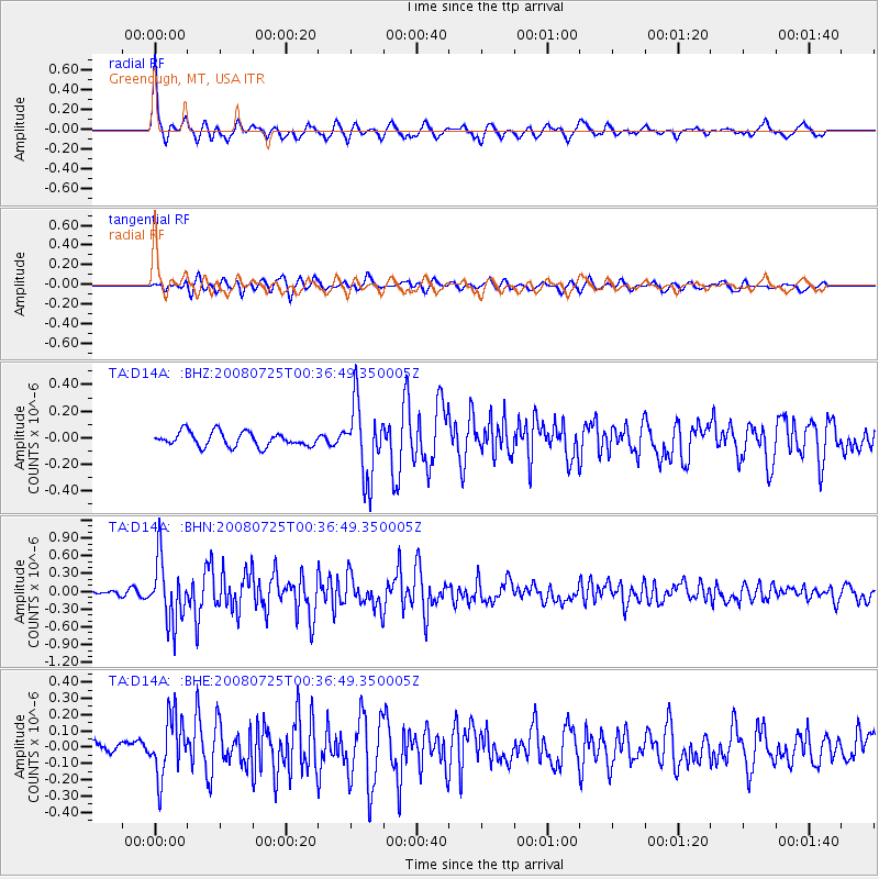
Earthquake location: Rat Islands, Aleutian Islands
Earthquake latitude/longitude: 51.3/179.0
Earthquake time(UTC): 2008/07/25 (207) 00:29:22 GMT
Earthquake Depth: 21 km
Earthquake Magnitude: 5.7 MB, 5.5 MS, 5.9 MW, 5.9 MW
Earthquake Catalog/Contributor: WHDF/NEIC
Network: TA USArray Transportable Network (new EarthScope stations)
Station: D14A Greenough, MT, USA
Lat/Lon: 47.08 N/113.51 W
Elevation: 1444 m
Distance: 42.9 deg
Az: 68.0 deg
Baz: 301.556 deg
Ray Param: 0.072850525
Estimated Moho Depth: 29.25 km
Estimated Crust Vp/Vs: 1.95
Assumed Crust Vp: 6.353 km/s
Estimated Crust Vs: 3.266 km/s
Estimated Crust Poisson's Ratio: 0.32
Radial Match: 87.190765 %
Radial Bump: 400
Transverse Match: 75.47419 %
Transverse Bump: 400
SOD ConfigId: 2504
Insert Time: 2010-03-06 21:32:55.828 +0000
GWidth: 2.5
Max Bumps: 400
Tol: 0.001

Signal To Noise

ChannelStoNSTALTA
TA:D14A: :BHN:20080725T00:36:49.350005Z10.7853685.1834604E-74.8060116E-8
TA:D14A: :BHE:20080725T00:36:49.350005Z5.83376031.8373821E-73.1495674E-8
TA:D14A: :BHZ:20080725T00:36:49.350005Z5.1549822.762224E-75.3583584E-8
Arrivals
Ps4.6 SECOND
PpPs13 SECOND
PsPs/PpSs17 SECOND