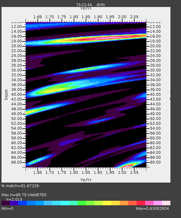
D14A Greenough, MT, USA - Earthquake Result Viewer

Earthquake location: Near West Coast Of Honshu, Japan
Earthquake latitude/longitude: 37.5/138.5
Earthquake time(UTC): 2007/07/16 (197) 06:37:40 GMT
Earthquake Depth: 15 km
Earthquake Magnitude: 5.7 MB, 5.1 MS, 5.7 MW, 5.6 MW
Earthquake Catalog/Contributor: WHDF/NEIC
Network: TA USArray Transportable Network (new EarthScope stations)
Station: D14A Greenough, MT, USA
Lat/Lon: 47.08 N/113.51 W
Elevation: 1444 m
Distance: 74.1 deg
Az: 42.516 deg
Baz: 308.146 deg
Ray Param: 0.05256702
Estimated Moho Depth: 69.75 km
Estimated Crust Vp/Vs: 2.02
Assumed Crust Vp: 6.353 km/s
Estimated Crust Vs: 3.153 km/s
Estimated Crust Poisson's Ratio: 0.34
Radial Match: 81.67326 %
Radial Bump: 400
Transverse Match: 68.364655 %
Transverse Bump: 400
SOD ConfigId: 2564
Insert Time: 2010-03-06 21:34:23.717 +0000
GWidth: 2.5
Max Bumps: 400
Tol: 0.001

Signal To Noise

ChannelStoNSTALTA
TA:D14A: :BHN:20070716T06:48:44.398018Z3.51420049.069797E-82.580899E-8
TA:D14A: :BHE:20070716T06:48:44.398018Z2.89955331.1865634E-74.092228E-8
TA:D14A: :BHZ:20070716T06:48:44.398018Z7.17864473.427767E-74.7749506E-8
Arrivals
Ps11 SECOND
PpPs32 SECOND
PsPs/PpSs44 SECOND