GLA Glamis, California, USA - Earthquake Result Viewer
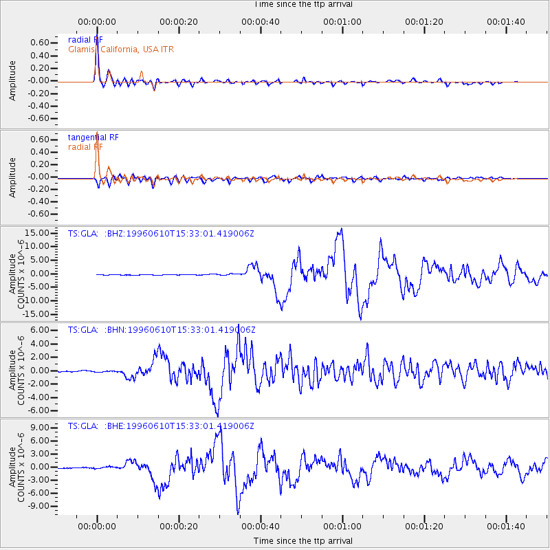
Earthquake location: Andreanof Islands, Aleutian Is.
Earthquake latitude/longitude: 51.5/-176.8
Earthquake time(UTC): 1996/06/10 (162) 15:24:56 GMT
Earthquake Depth: 26 km
Earthquake Magnitude: 5.9 MB, 7.1 MS, 7.2 UNKNOWN, 6.9 MS
Earthquake Catalog/Contributor: WHDF/NEIC
Network: TS TERRAscope (Southern California Seismic Network)
Station: GLA Glamis, California, USA
Lat/Lon: 33.05 N/114.83 W
Elevation: 627 m
Distance: 47.9 deg
Az: 87.529 deg
Baz: 311.932 deg
Ray Param: 0.06963556
Estimated Moho Depth: 27.0 km
Estimated Crust Vp/Vs: 1.66
Assumed Crust Vp: 6.155 km/s
Estimated Crust Vs: 3.708 km/s
Estimated Crust Poisson's Ratio: 0.22
Radial Match: 98.27748 %
Radial Bump: 355
Transverse Match: 92.3736 %
Transverse Bump: 400
SOD ConfigId: 6273
Insert Time: 2010-02-26 14:12:53.062 +0000
GWidth: 2.5
Max Bumps: 400
Tol: 0.001

Signal To Noise

ChannelStoNSTALTA
TS:GLA: :BHN:19960610T15:33:01.419006Z0.80152888.3112255E-81.0369216E-7
TS:GLA: :BHE:19960610T15:33:01.419006Z2.55418632.4091446E-79.4321415E-8
TS:GLA: :BHZ:19960610T15:33:01.419006Z3.40820072.989277E-78.770836E-8
Arrivals
Ps3.1 SECOND
PpPs11 SECOND
PsPs/PpSs14 SECOND