W20A Ramah, NM, USA - Earthquake Result Viewer
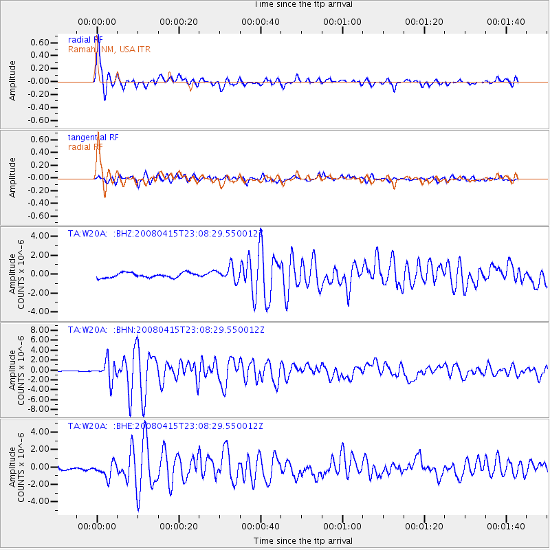
Earthquake location: Andreanof Islands, Aleutian Is.
Earthquake latitude/longitude: 51.9/-179.4
Earthquake time(UTC): 2008/04/15 (106) 22:59:51 GMT
Earthquake Depth: 10 km
Earthquake Magnitude: 6.1 MB, 6.4 MS, 6.4 MW, 6.4 MW
Earthquake Catalog/Contributor: WHDF/NEIC
Network: TA USArray Transportable Network (new EarthScope stations)
Station: W20A Ramah, NM, USA
Lat/Lon: 35.13 N/108.50 W
Elevation: 2110 m
Distance: 52.0 deg
Az: 79.436 deg
Baz: 311.941 deg
Ray Param: 0.0670602
Estimated Moho Depth: 21.25 km
Estimated Crust Vp/Vs: 1.89
Assumed Crust Vp: 6.496 km/s
Estimated Crust Vs: 3.433 km/s
Estimated Crust Poisson's Ratio: 0.31
Radial Match: 92.95502 %
Radial Bump: 400
Transverse Match: 86.46054 %
Transverse Bump: 400
SOD ConfigId: 2504
Insert Time: 2010-03-06 23:04:46.424 +0000
GWidth: 2.5
Max Bumps: 400
Tol: 0.001

Signal To Noise

ChannelStoNSTALTA
TA:W20A: :BHN:20080415T23:08:29.550012Z24.3854542.0600742E-68.447963E-8
TA:W20A: :BHE:20080415T23:08:29.550012Z3.98252999.2848927E-72.3314057E-7
TA:W20A: :BHZ:20080415T23:08:29.550012Z2.99994687.5250483E-72.5083938E-7
Arrivals
Ps3.1 SECOND
PpPs9.0 SECOND
PsPs/PpSs12 SECOND