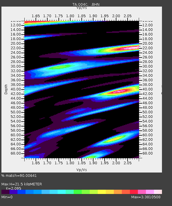
Q04C Lincoln, CA, USA - Earthquake Result Viewer

Earthquake location: Near East Coast Of Honshu, Japan
Earthquake latitude/longitude: 36.4/140.8
Earthquake time(UTC): 2005/10/19 (292) 11:44:42 GMT
Earthquake Depth: 32 km
Earthquake Magnitude: 6.2 MB, 6.5 MS, 6.4 MW, 6.3 MW
Earthquake Catalog/Contributor: WHDF/NEIC
Network: TA USArray Transportable Network (new EarthScope stations)
Station: Q04C Lincoln, CA, USA
Lat/Lon: 38.84 N/121.38 W
Elevation: 14 m
Distance: 73.5 deg
Az: 53.797 deg
Baz: 303.533 deg
Ray Param: 0.052905653
Estimated Moho Depth: 21.5 km
Estimated Crust Vp/Vs: 2.10
Assumed Crust Vp: 6.597 km/s
Estimated Crust Vs: 3.149 km/s
Estimated Crust Poisson's Ratio: 0.35
Radial Match: 90.00641 %
Radial Bump: 366
Transverse Match: 82.38873 %
Transverse Bump: 400
SOD ConfigId: 2475
Insert Time: 2010-03-07 01:24:09.423 +0000
GWidth: 2.5
Max Bumps: 400
Tol: 0.001

Signal To Noise

ChannelStoNSTALTA
TA:Q04C: :BHN:20051019T11:55:41.349021Z0.691329362.8380535E-74.1052118E-7
TA:Q04C: :BHE:20051019T11:55:41.349021Z2.8814188.495446E-72.948356E-7
TA:Q04C: :BHZ:20051019T11:55:41.349021Z5.5652327.024187E-71.2621554E-7
Arrivals
Ps3.7 SECOND
PpPs9.8 SECOND
PsPs/PpSs13 SECOND