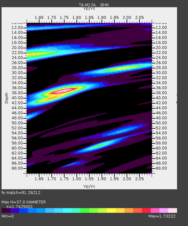
M12A Wells, NV, USA - Earthquake Result Viewer

Earthquake location: Rat Islands, Aleutian Islands
Earthquake latitude/longitude: 52.2/176.2
Earthquake time(UTC): 2006/06/27 (178) 02:39:35 GMT
Earthquake Depth: 34 km
Earthquake Magnitude: 5.6 MB, 6.0 MS, 6.2 MW, 6.2 MW
Earthquake Catalog/Contributor: WHDF/NEIC
Network: TA USArray Transportable Network (new EarthScope stations)
Station: M12A Wells, NV, USA
Lat/Lon: 41.42 N/114.92 W
Elevation: 1930 m
Distance: 46.7 deg
Az: 74.685 deg
Baz: 307.893 deg
Ray Param: 0.07042474
Estimated Moho Depth: 37.0 km
Estimated Crust Vp/Vs: 1.74
Assumed Crust Vp: 6.276 km/s
Estimated Crust Vs: 3.602 km/s
Estimated Crust Poisson's Ratio: 0.25
Radial Match: 91.26212 %
Radial Bump: 363
Transverse Match: 80.94364 %
Transverse Bump: 400
SOD ConfigId: 2665
Insert Time: 2010-03-07 03:18:43.447 +0000
GWidth: 2.5
Max Bumps: 400
Tol: 0.001

Signal To Noise

ChannelStoNSTALTA
TA:M12A: :BHN:20060627T02:47:30.150005Z4.2281052.0791484E-74.917447E-8
TA:M12A: :BHE:20060627T02:47:30.150005Z3.14868282.2090445E-77.015773E-8
TA:M12A: :BHZ:20060627T02:47:30.150005Z8.2005364.318809E-75.2664962E-8
Arrivals
Ps4.6 SECOND
PpPs15 SECOND
PsPs/PpSs20 SECOND