You are here: Home > Network List > GS - US Geological Survey Networks Stations List
> Station KAN13 Rinehart Farm > Earthquake Result Viewer
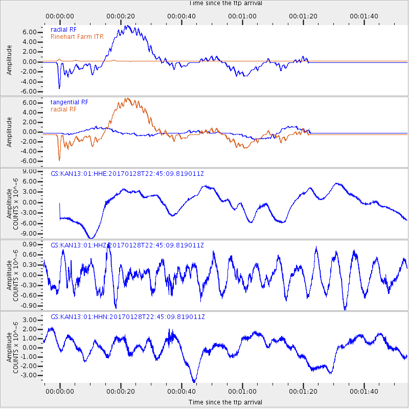
KAN13 Rinehart Farm - Earthquake Result Viewer
*The percent match for this event was below the threshold and hence no stack was calculated.
| Earthquake location: |
Samoa Islands Region |
| Earthquake latitude/longitude: |
-15.3/-173.0 |
| Earthquake time(UTC): |
2017/01/28 (028) 22:32:51 GMT |
| Earthquake Depth: |
10 km |
| Earthquake Magnitude: |
5.7 mb |
| Earthquake Catalog/Contributor: |
NEIC PDE/us |
|
| Network: |
GS US Geological Survey Networks |
| Station: |
KAN13 Rinehart Farm |
| Lat/Lon: |
37.01 N/97.48 W |
| Elevation: |
340 m |
|
| Distance: |
87.9 deg |
| Az: |
50.844 deg |
| Baz: |
249.194 deg |
| Ray Param: |
$rayparam |
*The percent match for this event was below the threshold and hence was not used in the summary stack. |
|
| Radial Match: |
38.696163 % |
| Radial Bump: |
400 |
| Transverse Match: |
57.151787 % |
| Transverse Bump: |
400 |
| SOD ConfigId: |
1943534 |
| Insert Time: |
2017-02-11 22:34:11.861 +0000 |
| GWidth: |
2.5 |
| Max Bumps: |
400 |
| Tol: |
0.001 |
|
Signal To Noise
| Channel | StoN | STA | LTA |
| GS:KAN13:01:HHZ:20170128T22:45:09.819011Z | 1.2840688 | 4.036379E-7 | 3.1434288E-7 |
| GS:KAN13:01:HHN:20170128T22:45:09.819011Z | 0.6782787 | 1.8781907E-6 | 2.7690546E-6 |
| GS:KAN13:01:HHE:20170128T22:45:09.819011Z | 0.92395085 | 4.298538E-6 | 4.652345E-6 |
| Arrivals |
| Ps | |
| PpPs | |
| PsPs/PpSs | |


