T12A Moapa, NV, USA - Earthquake Result Viewer
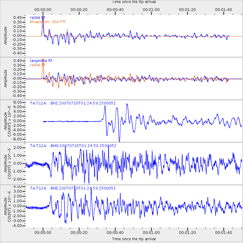
Earthquake location: Near West Coast Of Honshu, Japan
Earthquake latitude/longitude: 37.5/138.4
Earthquake time(UTC): 2007/07/16 (197) 01:13:22 GMT
Earthquake Depth: 12 km
Earthquake Magnitude: 6.5 MB, 6.4 MS, 6.6 MW, 6.5 MW
Earthquake Catalog/Contributor: WHDF/NEIC
Network: TA USArray Transportable Network (new EarthScope stations)
Station: T12A Moapa, NV, USA
Lat/Lon: 36.73 N/114.71 W
Elevation: 538 m
Distance: 79.9 deg
Az: 51.37 deg
Baz: 309.38 deg
Ray Param: 0.04867359
Estimated Moho Depth: 32.75 km
Estimated Crust Vp/Vs: 1.72
Assumed Crust Vp: 6.276 km/s
Estimated Crust Vs: 3.654 km/s
Estimated Crust Poisson's Ratio: 0.24
Radial Match: 91.919586 %
Radial Bump: 400
Transverse Match: 86.615234 %
Transverse Bump: 400
SOD ConfigId: 2564
Insert Time: 2010-03-07 04:50:29.702 +0000
GWidth: 2.5
Max Bumps: 400
Tol: 0.001

Signal To Noise

ChannelStoNSTALTA
TA:T12A: :BHN:20070716T01:24:59.250005Z3.3349645.757987E-71.7265515E-7
TA:T12A: :BHE:20070716T01:24:59.250005Z3.75632296.8410094E-71.8211985E-7
TA:T12A: :BHZ:20070716T01:24:59.250005Z30.202182.2829347E-67.558841E-8
Arrivals
Ps3.9 SECOND
PpPs14 SECOND
PsPs/PpSs18 SECOND