Y14A Wickenburg, AZ, USA - Earthquake Result Viewer
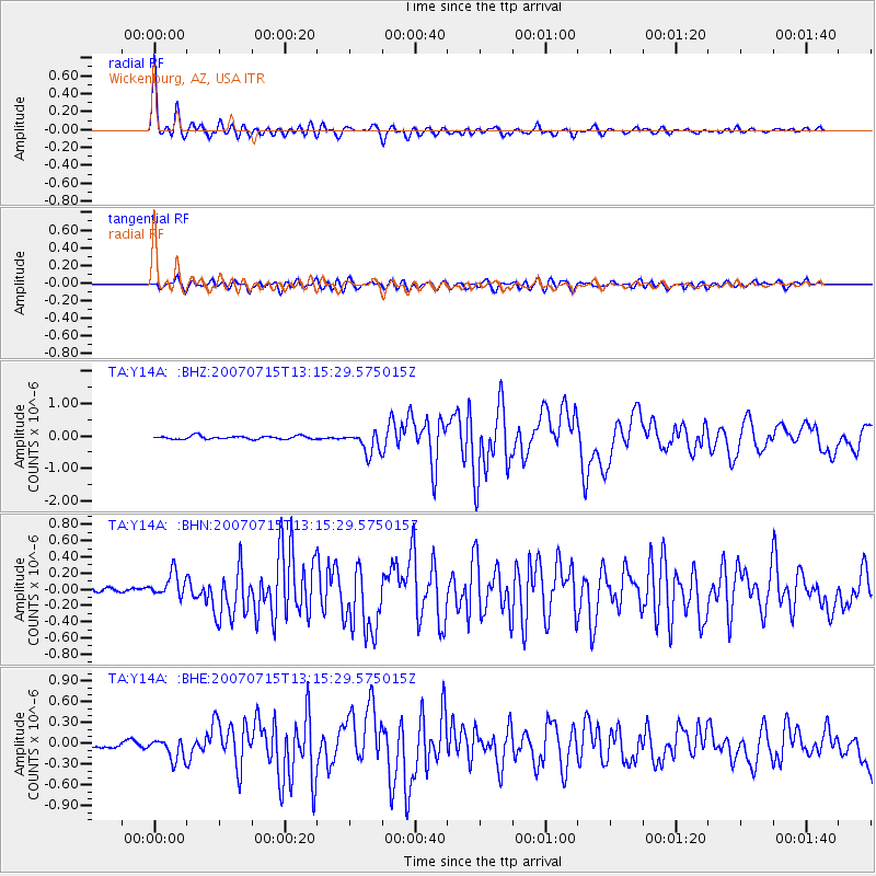
Earthquake location: Fox Islands, Aleutian Islands
Earthquake latitude/longitude: 52.5/-168.0
Earthquake time(UTC): 2007/07/15 (196) 13:08:00 GMT
Earthquake Depth: 10 km
Earthquake Magnitude: 5.8 MB, 5.9 MS, 6.1 MW, 6.0 MW
Earthquake Catalog/Contributor: WHDF/NEIC
Network: TA USArray Transportable Network (new EarthScope stations)
Station: Y14A Wickenburg, AZ, USA
Lat/Lon: 33.94 N/113.00 W
Elevation: 731 m
Distance: 43.0 deg
Az: 93.106 deg
Baz: 312.726 deg
Ray Param: 0.072814114
Estimated Moho Depth: 29.0 km
Estimated Crust Vp/Vs: 1.69
Assumed Crust Vp: 6.264 km/s
Estimated Crust Vs: 3.701 km/s
Estimated Crust Poisson's Ratio: 0.23
Radial Match: 95.117714 %
Radial Bump: 400
Transverse Match: 87.17364 %
Transverse Bump: 400
SOD ConfigId: 2564
Insert Time: 2010-03-07 05:14:49.826 +0000
GWidth: 2.5
Max Bumps: 400
Tol: 0.001

Signal To Noise

ChannelStoNSTALTA
TA:Y14A: :BHN:20070715T13:15:29.575015Z3.6316651.5324494E-74.2196884E-8
TA:Y14A: :BHE:20070715T13:15:29.575015Z3.9731311.5044522E-73.7865657E-8
TA:Y14A: :BHZ:20070715T13:15:29.575015Z7.0590253.4158725E-74.839015E-8
Arrivals
Ps3.4 SECOND
PpPs12 SECOND
PsPs/PpSs15 SECOND