Y14A Wickenburg, AZ, USA - Earthquake Result Viewer
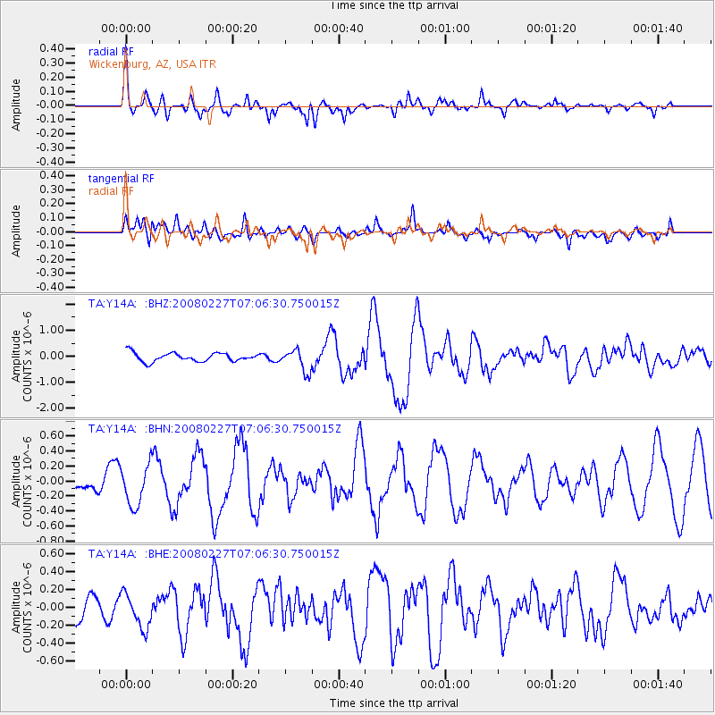
Earthquake location: Bonin Islands, Japan Region
Earthquake latitude/longitude: 26.8/142.4
Earthquake time(UTC): 2008/02/27 (058) 06:54:20 GMT
Earthquake Depth: 15 km
Earthquake Magnitude: 5.8 MB, 6.1 MS, 6.2 MW, 6.2 MW
Earthquake Catalog/Contributor: WHDF/NEIC
Network: TA USArray Transportable Network (new EarthScope stations)
Station: Y14A Wickenburg, AZ, USA
Lat/Lon: 33.94 N/113.00 W
Elevation: 731 m
Distance: 86.4 deg
Az: 53.732 deg
Baz: 299.924 deg
Ray Param: 0.044063445
Estimated Moho Depth: 42.75 km
Estimated Crust Vp/Vs: 1.61
Assumed Crust Vp: 6.264 km/s
Estimated Crust Vs: 3.903 km/s
Estimated Crust Poisson's Ratio: 0.18
Radial Match: 82.09413 %
Radial Bump: 400
Transverse Match: 64.29458 %
Transverse Bump: 400
SOD ConfigId: 2564
Insert Time: 2010-03-07 05:17:16.770 +0000
GWidth: 2.5
Max Bumps: 400
Tol: 0.001

Signal To Noise

ChannelStoNSTALTA
TA:Y14A: :BHN:20080227T07:06:30.750015Z1.87346892.6942112E-71.438087E-7
TA:Y14A: :BHE:20080227T07:06:30.750015Z1.12011231.8942465E-71.691122E-7
TA:Y14A: :BHZ:20080227T07:06:30.750015Z2.5610174.261317E-71.6639159E-7
Arrivals
Ps4.2 SECOND
PpPs17 SECOND
PsPs/PpSs22 SECOND