Y14A Wickenburg, AZ, USA - Earthquake Result Viewer
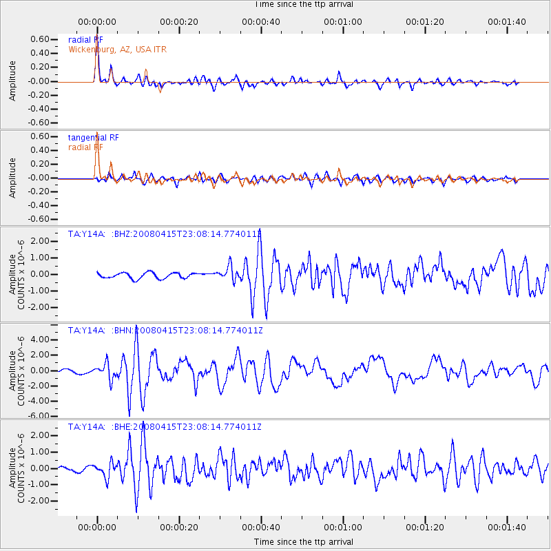
Earthquake location: Andreanof Islands, Aleutian Is.
Earthquake latitude/longitude: 51.9/-179.4
Earthquake time(UTC): 2008/04/15 (106) 22:59:51 GMT
Earthquake Depth: 10 km
Earthquake Magnitude: 6.1 MB, 6.4 MS, 6.4 MW, 6.4 MW
Earthquake Catalog/Contributor: WHDF/NEIC
Network: TA USArray Transportable Network (new EarthScope stations)
Station: Y14A Wickenburg, AZ, USA
Lat/Lon: 33.94 N/113.00 W
Elevation: 731 m
Distance: 50.0 deg
Az: 83.772 deg
Baz: 312.129 deg
Ray Param: 0.06834081
Estimated Moho Depth: 22.75 km
Estimated Crust Vp/Vs: 1.88
Assumed Crust Vp: 6.264 km/s
Estimated Crust Vs: 3.336 km/s
Estimated Crust Poisson's Ratio: 0.30
Radial Match: 87.91473 %
Radial Bump: 400
Transverse Match: 81.16514 %
Transverse Bump: 400
SOD ConfigId: 2504
Insert Time: 2010-03-07 05:17:19.985 +0000
GWidth: 2.5
Max Bumps: 400
Tol: 0.001

Signal To Noise

ChannelStoNSTALTA
TA:Y14A: :BHN:20080415T23:08:14.774011Z2.70173651.0218758E-63.782293E-7
TA:Y14A: :BHE:20080415T23:08:14.774011Z1.82112994.467211E-72.4529888E-7
TA:Y14A: :BHZ:20080415T23:08:14.774011Z2.49284844.325872E-71.735313E-7
Arrivals
Ps3.4 SECOND
PpPs9.9 SECOND
PsPs/PpSs13 SECOND