
Y26A Elida, NM, USA - Earthquake Result Viewer

| ||||||||||||||||||
| ||||||||||||||||||
| ||||||||||||||||||
|
Signal To Noise
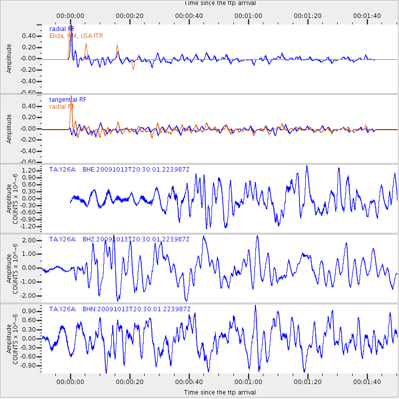
| Channel | StoN | STA | LTA |
| TA:Y26A: :BHZ:20091013T20:30:01.223987Z | 1.3889549 | 2.64704E-7 | 1.9057782E-7 |
| TA:Y26A: :BHN:20091013T20:30:01.223987Z | 1.6662978 | 3.9175492E-7 | 2.3510498E-7 |
| TA:Y26A: :BHE:20091013T20:30:01.223987Z | 2.147852 | 3.7368517E-7 | 1.739809E-7 |
| Arrivals | |
| Ps | 1.7 SECOND |
| PpPs | 6.0 SECOND |
| PsPs/PpSs | 7.7 SECOND |

