L24A Wheatland, WY, USA - Earthquake Result Viewer
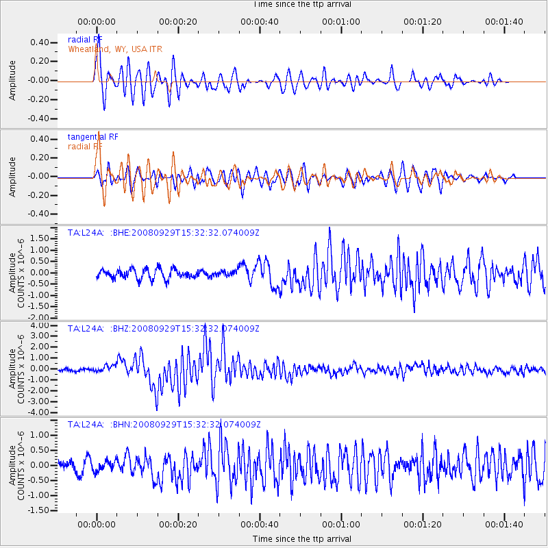
Earthquake location: Kermadec Islands, New Zealand
Earthquake latitude/longitude: -29.8/-177.7
Earthquake time(UTC): 2008/09/29 (273) 15:19:31 GMT
Earthquake Depth: 36 km
Earthquake Magnitude: 6.5 MB, 6.7 MS, 7.0 MW, 7.0 MW
Earthquake Catalog/Contributor: WHDF/NEIC
Network: TA USArray Transportable Network (new EarthScope stations)
Station: L24A Wheatland, WY, USA
Lat/Lon: 42.04 N/104.93 W
Elevation: 1479 m
Distance: 97.9 deg
Az: 45.904 deg
Baz: 236.973 deg
Ray Param: 0.04005397
Estimated Moho Depth: 40.5 km
Estimated Crust Vp/Vs: 1.92
Assumed Crust Vp: 6.159 km/s
Estimated Crust Vs: 3.208 km/s
Estimated Crust Poisson's Ratio: 0.31
Radial Match: 90.22605 %
Radial Bump: 400
Transverse Match: 68.56466 %
Transverse Bump: 400
SOD ConfigId: 2560
Insert Time: 2010-03-07 05:37:09.504 +0000
GWidth: 2.5
Max Bumps: 400
Tol: 0.001

Signal To Noise

ChannelStoNSTALTA
TA:L24A: :BHZ:20080929T15:32:32.074009Z2.66447643.1265066E-71.1734038E-7
TA:L24A: :BHN:20080929T15:32:32.074009Z0.734761.6374034E-72.2284874E-7
TA:L24A: :BHE:20080929T15:32:32.074009Z0.591075841.2415462E-72.1004855E-7
Arrivals
Ps6.1 SECOND
PpPs19 SECOND
PsPs/PpSs25 SECOND