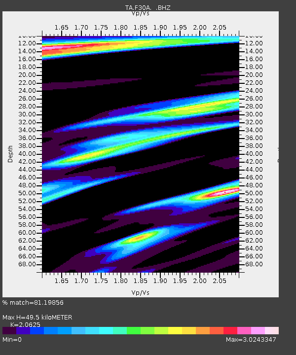
F30A Leola, SD, USA - Earthquake Result Viewer

Earthquake location: Fox Islands, Aleutian Islands
Earthquake latitude/longitude: 52.8/-167.0
Earthquake time(UTC): 2009/10/13 (286) 05:37:23 GMT
Earthquake Depth: 24 km
Earthquake Magnitude: 6.0 MB, 6.1 MS, 6.5 MW, 6.5 MW
Earthquake Catalog/Contributor: WHDF/NEIC
Network: TA USArray Transportable Network (new EarthScope stations)
Station: F30A Leola, SD, USA
Lat/Lon: 45.84 N/99.03 W
Elevation: 601 m
Distance: 43.4 deg
Az: 70.746 deg
Baz: 304.838 deg
Ray Param: 0.07256806
Estimated Moho Depth: 49.5 km
Estimated Crust Vp/Vs: 2.06
Assumed Crust Vp: 6.53 km/s
Estimated Crust Vs: 3.166 km/s
Estimated Crust Poisson's Ratio: 0.35
Radial Match: 81.19856 %
Radial Bump: 400
Transverse Match: 67.60364 %
Transverse Bump: 385
SOD ConfigId: 2622
Insert Time: 2010-03-07 06:24:01.580 +0000
GWidth: 2.5
Max Bumps: 400
Tol: 0.001

Signal To Noise

ChannelStoNSTALTA
TA:F30A: :BHZ:20091013T05:44:53.149015Z2.09078934.8664E-72.3275419E-7
TA:F30A: :BHN:20091013T05:44:53.149015Z1.07448467.7354883E-77.199255E-7
TA:F30A: :BHE:20091013T05:44:53.149015Z1.0214946.667058E-76.526771E-7
Arrivals
Ps8.5 SECOND
PpPs22 SECOND
PsPs/PpSs30 SECOND