BNI Bardonecchia, Italy - Earthquake Result Viewer
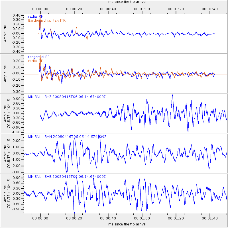
Earthquake location: Andreanof Islands, Aleutian Is.
Earthquake latitude/longitude: 51.9/-179.2
Earthquake time(UTC): 2008/04/16 (107) 05:54:19 GMT
Earthquake Depth: 13 km
Earthquake Magnitude: 6.1 MB, 6.5 MS, 6.6 MW, 6.6 MW
Earthquake Catalog/Contributor: WHDF/NEIC
Network: MN MEDNET Project
Station: BNI Bardonecchia, Italy
Lat/Lon: 45.05 N/6.68 E
Elevation: 1395 m
Distance: 83.3 deg
Az: 355.833 deg
Baz: 3.643 deg
Ray Param: 0.046268705
Estimated Moho Depth: 20.25 km
Estimated Crust Vp/Vs: 1.81
Assumed Crust Vp: 6.416 km/s
Estimated Crust Vs: 3.55 km/s
Estimated Crust Poisson's Ratio: 0.28
Radial Match: 86.58885 %
Radial Bump: 400
Transverse Match: 84.97833 %
Transverse Bump: 400
SOD ConfigId: 2504
Insert Time: 2010-03-08 16:48:56.151 +0000
GWidth: 2.5
Max Bumps: 400
Tol: 0.001

Signal To Noise

ChannelStoNSTALTA
MN:BNI: :BHN:20080416T06:06:14.674009Z3.51044034.2311106E-71.2052934E-7
MN:BNI: :BHE:20080416T06:06:14.674009Z1.97132951.6151232E-78.193066E-8
MN:BNI: :BHZ:20080416T06:06:14.674009Z0.581302767.814818E-81.3443628E-7
Arrivals
Ps2.6 SECOND
PpPs8.6 SECOND
PsPs/PpSs11 SECOND