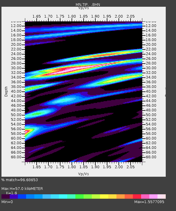
TIP Timpagrande, Italy - Earthquake Result Viewer

Earthquake location: Off W Coast Of Northern Sumatra
Earthquake latitude/longitude: 2.8/96.0
Earthquake time(UTC): 2008/02/20 (051) 08:08:30 GMT
Earthquake Depth: 26 km
Earthquake Magnitude: 6.5 MB, 7.5 MS, 7.4 MW, 7.4 MW
Earthquake Catalog/Contributor: WHDF/NEIC
Network: MN MEDNET Project
Station: TIP Timpagrande, Italy
Lat/Lon: 39.18 N/16.76 E
Elevation: 789 m
Distance: 79.9 deg
Az: 309.146 deg
Baz: 94.686 deg
Ray Param: 0.048622236
Estimated Moho Depth: 57.0 km
Estimated Crust Vp/Vs: 1.60
Assumed Crust Vp: 6.1 km/s
Estimated Crust Vs: 3.812 km/s
Estimated Crust Poisson's Ratio: 0.18
Radial Match: 96.68653 %
Radial Bump: 400
Transverse Match: 88.93594 %
Transverse Bump: 400
SOD ConfigId: 2564
Insert Time: 2010-03-08 17:21:47.246 +0000
GWidth: 2.5
Max Bumps: 400
Tol: 0.001

Signal To Noise

ChannelStoNSTALTA
MN:TIP: :BHN:20080220T08:20:05.626018Z1.15766491.2833019E-71.10852625E-7
MN:TIP: :BHE:20080220T08:20:05.626018Z6.2380095.41315E-78.6776886E-8
MN:TIP: :BHZ:20080220T08:20:05.626018Z11.572571.1730343E-61.0136334E-7
Arrivals
Ps5.8 SECOND
PpPs24 SECOND
PsPs/PpSs29 SECOND