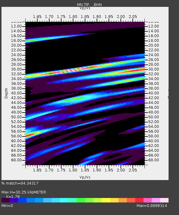
TIP Timpagrande, Italy - Earthquake Result Viewer

Earthquake location: Off W Coast Of Northern Sumatra
Earthquake latitude/longitude: 3.2/95.5
Earthquake time(UTC): 2005/01/02 (002) 08:27:41 GMT
Earthquake Depth: 8.4 km
Earthquake Magnitude: 5.6 MB, 5.9 MS, 5.9 MW, 5.8 MW
Earthquake Catalog/Contributor: WHDF/NEIC
Network: MN MEDNET Project
Station: TIP Timpagrande, Italy
Lat/Lon: 39.18 N/16.76 E
Elevation: 789 m
Distance: 79.2 deg
Az: 309.111 deg
Baz: 94.636 deg
Ray Param: 0.04912583
Estimated Moho Depth: 30.25 km
Estimated Crust Vp/Vs: 1.79
Assumed Crust Vp: 6.1 km/s
Estimated Crust Vs: 3.408 km/s
Estimated Crust Poisson's Ratio: 0.27
Radial Match: 84.34317 %
Radial Bump: 318
Transverse Match: 70.17609 %
Transverse Bump: 400
SOD ConfigId: 5233
Insert Time: 2010-03-08 17:22:31.204 +0000
GWidth: 2.5
Max Bumps: 400
Tol: 0.001

Signal To Noise

ChannelStoNSTALTA
MN:TIP: :BHN:20050102T08:39:15.884995Z1.46855321.475995E-71.00506746E-7
MN:TIP: :BHE:20050102T08:39:15.884995Z1.16291841.5756552E-71.3549146E-7
MN:TIP: :BHZ:20050102T08:39:15.884995Z3.82245044.0093965E-71.0489074E-7
Arrivals
Ps4.0 SECOND
PpPs13 SECOND
PsPs/PpSs18 SECOND