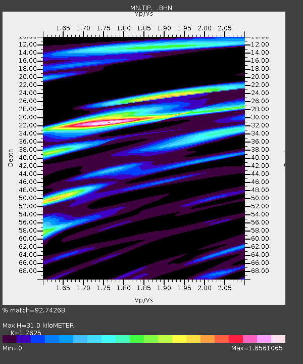
TIP Timpagrande, Italy - Earthquake Result Viewer

Earthquake location: Northern Sumatra, Indonesia
Earthquake latitude/longitude: 2.0/97.9
Earthquake time(UTC): 2005/04/03 (093) 03:10:56 GMT
Earthquake Depth: 36 km
Earthquake Magnitude: 6.0 MB, 5.9 MS, 6.3 MW, 6.3 MW
Earthquake Catalog/Contributor: WHDF/NEIC
Network: MN MEDNET Project
Station: TIP Timpagrande, Italy
Lat/Lon: 39.18 N/16.76 E
Elevation: 789 m
Distance: 81.9 deg
Az: 309.12 deg
Baz: 94.004 deg
Ray Param: 0.047218658
Estimated Moho Depth: 31.0 km
Estimated Crust Vp/Vs: 1.76
Assumed Crust Vp: 6.1 km/s
Estimated Crust Vs: 3.461 km/s
Estimated Crust Poisson's Ratio: 0.26
Radial Match: 92.74268 %
Radial Bump: 400
Transverse Match: 85.205666 %
Transverse Bump: 400
SOD ConfigId: 2459
Insert Time: 2010-03-08 17:22:38.951 +0000
GWidth: 2.5
Max Bumps: 400
Tol: 0.001

Signal To Noise

ChannelStoNSTALTA
MN:TIP: :BHN:20050403T03:22:41.086028Z1.70974041.8125179E-71.0601129E-7
MN:TIP: :BHE:20050403T03:22:41.086028Z7.94950776.661289E-78.379499E-8
MN:TIP: :BHZ:20050403T03:22:41.086028Z14.3925191.6707769E-61.1608648E-7
Arrivals
Ps4.0 SECOND
PpPs14 SECOND
PsPs/PpSs18 SECOND