HFEB Harrisburg Flat east 11 - Earthquake Result Viewer
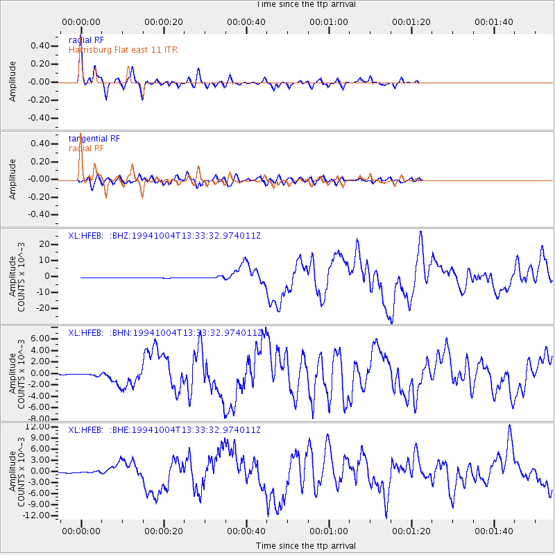
Earthquake location: Kuril Islands
Earthquake latitude/longitude: 43.7/147.3
Earthquake time(UTC): 1994/10/04 (277) 13:22:58 GMT
Earthquake Depth: 33 km
Earthquake Magnitude: 7.4 MB, 8.1 MS, 8.3 UNKNOWN, 8.2 MW
Earthquake Catalog/Contributor: WHDF/NEIC
Network: XL Southern Seirra - Death Valley
Station: HFEB Harrisburg Flat east 11
Lat/Lon: 36.36 N/117.08 W
Elevation: 1650 m
Distance: 69.6 deg
Az: 59.023 deg
Baz: 309.62 deg
Ray Param: 0.0555208
Estimated Moho Depth: 28.0 km
Estimated Crust Vp/Vs: 1.72
Assumed Crust Vp: 6.279 km/s
Estimated Crust Vs: 3.661 km/s
Estimated Crust Poisson's Ratio: 0.24
Radial Match: 96.91794 %
Radial Bump: 239
Transverse Match: 87.44493 %
Transverse Bump: 400
SOD ConfigId: 17000
Insert Time: 2010-03-08 18:06:26.905 +0000
GWidth: 2.5
Max Bumps: 400
Tol: 0.001

Signal To Noise

ChannelStoNSTALTA
XL:HFEB: :BHN:19941004T13:33:32.974011Z2.7935681.6575902E-45.933595E-5
XL:HFEB: :BHE:19941004T13:33:32.974011Z3.39152221.7640251E-45.2012783E-5
XL:HFEB: :BHZ:19941004T13:33:32.974011Z7.31781776.3375203E-48.660396E-5
Arrivals
Ps3.3 SECOND
PpPs12 SECOND
PsPs/PpSs15 SECOND