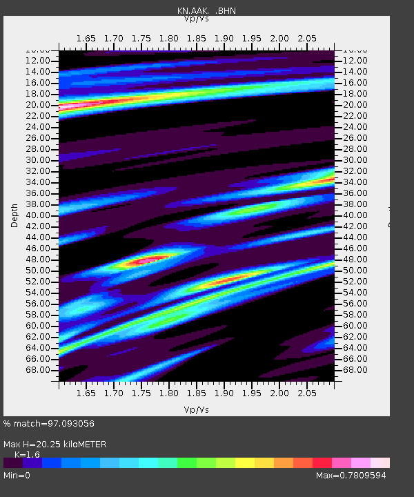
AAK KN.AAK - Earthquake Result Viewer

Earthquake location: Samar, Philippines
Earthquake latitude/longitude: 12.4/125.4
Earthquake time(UTC): 1995/04/23 (113) 05:08:03 GMT
Earthquake Depth: 33 km
Earthquake Magnitude: 6.0 MB, 6.6 MS, 6.7 UNKNOWN, 6.7 MW
Earthquake Catalog/Contributor: WHDF/NEIC
Network: KN Kyrgyz Seismic Telemetry Network
Station: AAK KN.AAK
Lat/Lon: 42.63 N/74.49 E
Elevation: 1680 m
Distance: 53.2 deg
Az: 314.379 deg
Baz: 108.863 deg
Ray Param: 0.06618401
Estimated Moho Depth: 20.25 km
Estimated Crust Vp/Vs: 1.60
Assumed Crust Vp: 6.306 km/s
Estimated Crust Vs: 3.941 km/s
Estimated Crust Poisson's Ratio: 0.18
Radial Match: 97.093056 %
Radial Bump: 385
Transverse Match: 92.49408 %
Transverse Bump: 400
SOD ConfigId: 6273
Insert Time: 2010-03-08 18:34:48.426 +0000
GWidth: 2.5
Max Bumps: 400
Tol: 0.001

Signal To Noise

ChannelStoNSTALTA
KN:AAK: :BHN:19950423T05:16:47.700Z1.1687458.335311E-87.131847E-8
KN:AAK: :BHE:19950423T05:16:47.700Z3.83255673.2081115E-78.370682E-8
KN:AAK: :BHZ:19950423T05:16:47.700Z11.7944747.7427757E-76.5647484E-8
Arrivals
Ps2.0 SECOND
PpPs7.9 SECOND
PsPs/PpSs9.9 SECOND