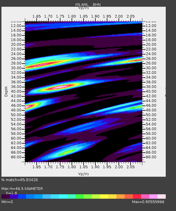
AML KN.AML - Earthquake Result Viewer

Earthquake location: Banda Sea
Earthquake latitude/longitude: -4.0/128.0
Earthquake time(UTC): 2001/03/19 (078) 05:52:15 GMT
Earthquake Depth: 33 km
Earthquake Magnitude: 6.0 MB, 6.5 MS, 6.5 MW, 6.5 MW
Earthquake Catalog/Contributor: WHDF/NEIC
Network: KN Kyrgyz Seismic Telemetry Network
Station: AML KN.AML
Lat/Lon: 42.13 N/73.69 E
Elevation: 3400 m
Distance: 67.3 deg
Az: 319.076 deg
Baz: 118.54 deg
Ray Param: 0.057002477
Estimated Moho Depth: 46.5 km
Estimated Crust Vp/Vs: 1.60
Assumed Crust Vp: 6.316 km/s
Estimated Crust Vs: 3.947 km/s
Estimated Crust Poisson's Ratio: 0.18
Radial Match: 95.93428 %
Radial Bump: 400
Transverse Match: 93.61087 %
Transverse Bump: 400
SOD ConfigId: 4714
Insert Time: 2010-03-08 18:54:20.385 +0000
GWidth: 2.5
Max Bumps: 400
Tol: 0.001

Signal To Noise

ChannelStoNSTALTA
KN:AML: :BHN:20010319T06:02:36.423997Z1.55180137.235242E-84.66248E-8
KN:AML: :BHE:20010319T06:02:36.423997Z2.50115631.6448864E-76.5765036E-8
KN:AML: :BHZ:20010319T06:02:36.423997Z8.9106964.167177E-74.676601E-8
Arrivals
Ps4.6 SECOND
PpPs18 SECOND
PsPs/PpSs23 SECOND