CHM KN.CHM - Earthquake Result Viewer
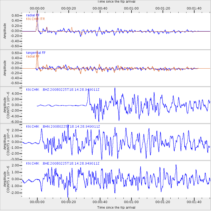
Earthquake location: Southern Sumatra, Indonesia
Earthquake latitude/longitude: -2.3/99.9
Earthquake time(UTC): 2008/02/25 (056) 18:06:03 GMT
Earthquake Depth: 25 km
Earthquake Magnitude: 6.0 MB, 6.4 MS, 6.4 MW, 6.3 MW
Earthquake Catalog/Contributor: WHDF/NEIC
Network: KN Kyrgyz Seismic Telemetry Network
Station: CHM KN.CHM
Lat/Lon: 43.00 N/74.75 E
Elevation: 655 m
Distance: 50.5 deg
Az: 336.175 deg
Baz: 146.623 deg
Ray Param: 0.067977875
Estimated Moho Depth: 44.0 km
Estimated Crust Vp/Vs: 2.04
Assumed Crust Vp: 6.306 km/s
Estimated Crust Vs: 3.091 km/s
Estimated Crust Poisson's Ratio: 0.34
Radial Match: 95.642624 %
Radial Bump: 400
Transverse Match: 78.56947 %
Transverse Bump: 400
SOD ConfigId: 2564
Insert Time: 2010-03-08 19:25:05.314 +0000
GWidth: 2.5
Max Bumps: 400
Tol: 0.001

Signal To Noise

ChannelStoNSTALTA
KN:CHM: :BHN:20080225T18:14:28.949011Z4.4619828.110673E-71.817729E-7
KN:CHM: :BHE:20080225T18:14:28.949011Z3.2425396.111343E-71.88474E-7
KN:CHM: :BHZ:20080225T18:14:28.949011Z17.4380932.0239797E-61.16066566E-7
Arrivals
Ps7.6 SECOND
PpPs20 SECOND
PsPs/PpSs28 SECOND