EKS2 KN.EKS2 - Earthquake Result Viewer
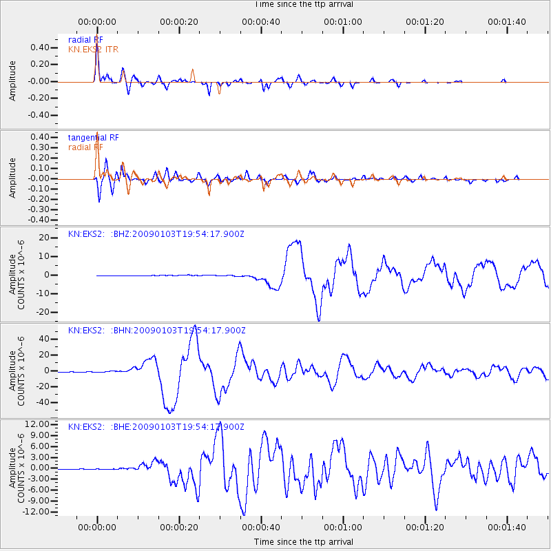
Earthquake location: Irian Jaya Region, Indonesia
Earthquake latitude/longitude: -0.4/132.9
Earthquake time(UTC): 2009/01/03 (003) 19:43:50 GMT
Earthquake Depth: 17 km
Earthquake Magnitude: 6.6 MB, 7.5 MS, 7.6 MW, 7.6 MW
Earthquake Catalog/Contributor: WHDF/NEIC
Network: KN Kyrgyz Seismic Telemetry Network
Station: EKS2 KN.EKS2
Lat/Lon: 42.66 N/73.78 E
Elevation: 1360 m
Distance: 68.0 deg
Az: 316.962 deg
Baz: 112.301 deg
Ray Param: 0.056545857
Estimated Moho Depth: 16.0 km
Estimated Crust Vp/Vs: 1.60
Assumed Crust Vp: 6.316 km/s
Estimated Crust Vs: 3.947 km/s
Estimated Crust Poisson's Ratio: 0.18
Radial Match: 96.47507 %
Radial Bump: 366
Transverse Match: 94.80019 %
Transverse Bump: 400
SOD ConfigId: 2834
Insert Time: 2010-03-08 19:48:14.552 +0000
GWidth: 2.5
Max Bumps: 400
Tol: 0.001

Signal To Noise

ChannelStoNSTALTA
KN:EKS2: :BHN:20090103T19:54:17.900Z6.1163347.1461585E-71.16837285E-7
KN:EKS2: :BHE:20090103T19:54:17.900Z0.60360221.9382816E-73.2111905E-7
KN:EKS2: :BHZ:20090103T19:54:17.900Z1.31932012.2016107E-71.6687464E-7
Arrivals
Ps1.6 SECOND
PpPs6.3 SECOND
PsPs/PpSs7.9 SECOND