EKS2 KN.EKS2 - Earthquake Result Viewer
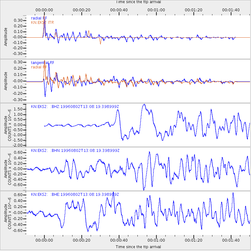
Earthquake location: Solomon Islands
Earthquake latitude/longitude: -10.8/161.4
Earthquake time(UTC): 1996/08/02 (215) 12:55:29 GMT
Earthquake Depth: 33 km
Earthquake Magnitude: 6.2 MB, 7.1 MS, 6.9 UNKNOWN, 6.9 MW
Earthquake Catalog/Contributor: WHDF/NEIC
Network: KN Kyrgyz Seismic Telemetry Network
Station: EKS2 KN.EKS2
Lat/Lon: 42.66 N/73.78 E
Elevation: 1360 m
Distance: 95.5 deg
Az: 312.232 deg
Baz: 99.479 deg
Ray Param: 0.040751353
Estimated Moho Depth: 15.75 km
Estimated Crust Vp/Vs: 1.60
Assumed Crust Vp: 6.316 km/s
Estimated Crust Vs: 3.947 km/s
Estimated Crust Poisson's Ratio: 0.18
Radial Match: 92.4558 %
Radial Bump: 400
Transverse Match: 88.63707 %
Transverse Bump: 400
SOD ConfigId: 6273
Insert Time: 2010-03-08 19:50:25.498 +0000
GWidth: 2.5
Max Bumps: 400
Tol: 0.001

Signal To Noise

ChannelStoNSTALTA
KN:EKS2: :BHN:19960802T13:08:19.398999Z1.50476064.894646E-83.252774E-8
KN:EKS2: :BHE:19960802T13:08:19.398999Z1.57165667.964864E-85.067815E-8
KN:EKS2: :BHZ:19960802T13:08:19.398999Z2.51165561.709026E-76.80438E-8
Arrivals
Ps1.5 SECOND
PpPs6.3 SECOND
PsPs/PpSs7.9 SECOND