KZA KN.KZA - Earthquake Result Viewer
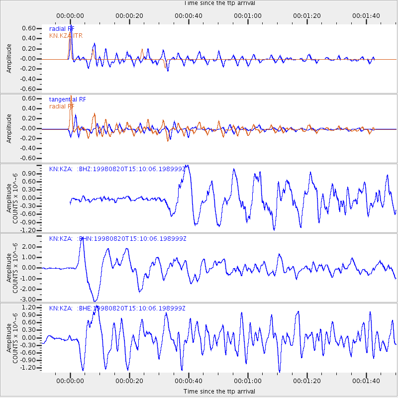
Earthquake location: Rat Islands, Aleutian Islands
Earthquake latitude/longitude: 51.6/175.2
Earthquake time(UTC): 1998/08/20 (232) 15:00:08 GMT
Earthquake Depth: 33 km
Earthquake Magnitude: 5.6 MB, 6.0 MS, 6.2 UNKNOWN, 6.2 MW
Earthquake Catalog/Contributor: WHDF/NEIC
Network: KN Kyrgyz Seismic Telemetry Network
Station: KZA KN.KZA
Lat/Lon: 42.08 N/75.25 E
Elevation: 3520 m
Distance: 63.8 deg
Az: 305.207 deg
Baz: 43.178 deg
Ray Param: 0.059282854
Estimated Moho Depth: 58.75 km
Estimated Crust Vp/Vs: 1.81
Assumed Crust Vp: 6.306 km/s
Estimated Crust Vs: 3.479 km/s
Estimated Crust Poisson's Ratio: 0.28
Radial Match: 93.567986 %
Radial Bump: 400
Transverse Match: 85.81031 %
Transverse Bump: 400
SOD ConfigId: 4480
Insert Time: 2010-03-08 20:25:19.773 +0000
GWidth: 2.5
Max Bumps: 400
Tol: 0.001

Signal To Noise

ChannelStoNSTALTA
KN:KZA: :BHN:19980820T15:10:06.198999Z21.3575331.3187687E-66.174724E-8
KN:KZA: :BHE:19980820T15:10:06.198999Z6.0812835.523571E-79.082904E-8
KN:KZA: :BHZ:19980820T15:10:06.198999Z5.3583982.8817982E-75.3780965E-8
Arrivals
Ps7.9 SECOND
PpPs25 SECOND
PsPs/PpSs33 SECOND