KZA KN.KZA - Earthquake Result Viewer
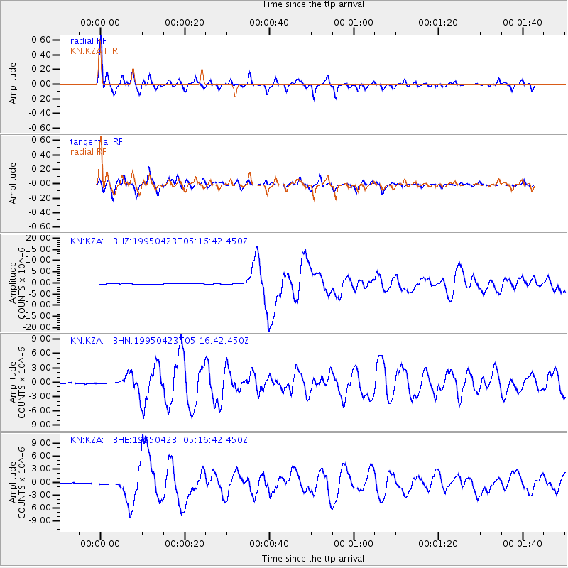
Earthquake location: Samar, Philippines
Earthquake latitude/longitude: 12.4/125.4
Earthquake time(UTC): 1995/04/23 (113) 05:08:03 GMT
Earthquake Depth: 33 km
Earthquake Magnitude: 6.0 MB, 6.6 MS, 6.7 UNKNOWN, 6.7 MW
Earthquake Catalog/Contributor: WHDF/NEIC
Network: KN Kyrgyz Seismic Telemetry Network
Station: KZA KN.KZA
Lat/Lon: 42.08 N/75.25 E
Elevation: 3520 m
Distance: 52.5 deg
Az: 313.949 deg
Baz: 109.11 deg
Ray Param: 0.06665352
Estimated Moho Depth: 19.75 km
Estimated Crust Vp/Vs: 1.60
Assumed Crust Vp: 6.306 km/s
Estimated Crust Vs: 3.941 km/s
Estimated Crust Poisson's Ratio: 0.18
Radial Match: 94.938896 %
Radial Bump: 400
Transverse Match: 93.22501 %
Transverse Bump: 400
SOD ConfigId: 6273
Insert Time: 2010-03-08 20:36:44.274 +0000
GWidth: 2.5
Max Bumps: 400
Tol: 0.001

Signal To Noise

ChannelStoNSTALTA
KN:KZA: :BHN:19950423T05:16:42.450Z2.03349691.5458545E-77.601952E-8
KN:KZA: :BHE:19950423T05:16:42.450Z2.51692322.2458198E-78.922878E-8
KN:KZA: :BHZ:19950423T05:16:42.450Z3.40413643.710314E-71.0899428E-7
Arrivals
Ps2.0 SECOND
PpPs7.7 SECOND
PsPs/PpSs9.7 SECOND