TKM2 KN.TKM2 - Earthquake Result Viewer
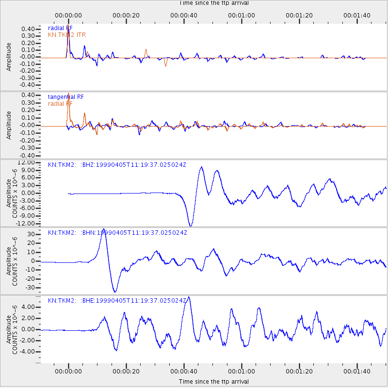
Earthquake location: New Britain Region, P.N.G.
Earthquake latitude/longitude: -5.6/149.6
Earthquake time(UTC): 1999/04/05 (095) 11:08:04 GMT
Earthquake Depth: 150 km
Earthquake Magnitude: 6.2 MB, 7.0 MS, 7.4 MW, 7.3 ME
Earthquake Catalog/Contributor: WHDF/NEIC
Network: KN Kyrgyz Seismic Telemetry Network
Station: TKM2 KN.TKM2
Lat/Lon: 42.92 N/75.60 E
Elevation: 2020 m
Distance: 82.2 deg
Az: 314.549 deg
Baz: 105.069 deg
Ray Param: 0.04672323
Estimated Moho Depth: 32.0 km
Estimated Crust Vp/Vs: 2.07
Assumed Crust Vp: 6.306 km/s
Estimated Crust Vs: 3.054 km/s
Estimated Crust Poisson's Ratio: 0.35
Radial Match: 98.17872 %
Radial Bump: 221
Transverse Match: 94.70148 %
Transverse Bump: 400
SOD ConfigId: 4480
Insert Time: 2010-03-08 20:55:53.899 +0000
GWidth: 2.5
Max Bumps: 400
Tol: 0.001

Signal To Noise

ChannelStoNSTALTA
KN:TKM2: :BHN:19990405T11:19:37.025024Z1.97161023.792631E-71.9236212E-7
KN:TKM2: :BHE:19990405T11:19:37.025024Z1.46590665.2349144E-83.5711107E-8
KN:TKM2: :BHZ:19990405T11:19:37.025024Z2.40302422.274392E-79.464707E-8
Arrivals
Ps5.5 SECOND
PpPs15 SECOND
PsPs/PpSs21 SECOND