TKM2 KN.TKM2 - Earthquake Result Viewer
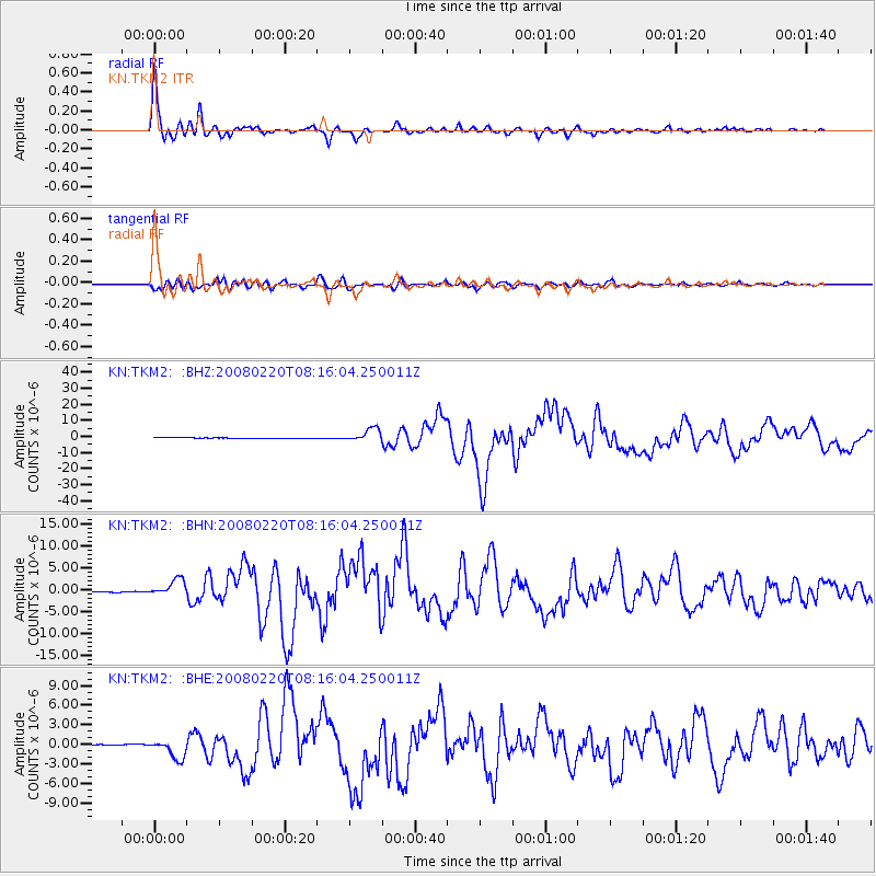
Earthquake location: Off W Coast Of Northern Sumatra
Earthquake latitude/longitude: 2.8/96.0
Earthquake time(UTC): 2008/02/20 (051) 08:08:30 GMT
Earthquake Depth: 26 km
Earthquake Magnitude: 6.5 MB, 7.5 MS, 7.4 MW, 7.4 MW
Earthquake Catalog/Contributor: WHDF/NEIC
Network: KN Kyrgyz Seismic Telemetry Network
Station: TKM2 KN.TKM2
Lat/Lon: 42.92 N/75.60 E
Elevation: 2020 m
Distance: 43.9 deg
Az: 338.369 deg
Baz: 149.918 deg
Ray Param: 0.07219719
Estimated Moho Depth: 60.25 km
Estimated Crust Vp/Vs: 1.69
Assumed Crust Vp: 6.306 km/s
Estimated Crust Vs: 3.731 km/s
Estimated Crust Poisson's Ratio: 0.23
Radial Match: 97.342354 %
Radial Bump: 400
Transverse Match: 88.99681 %
Transverse Bump: 400
SOD ConfigId: 2564
Insert Time: 2010-03-08 21:04:15.182 +0000
GWidth: 2.5
Max Bumps: 400
Tol: 0.001

Signal To Noise

ChannelStoNSTALTA
KN:TKM2: :BHN:20080220T08:16:04.250011Z21.9504241.8770728E-68.551419E-8
KN:TKM2: :BHE:20080220T08:16:04.250011Z8.9138041.3898155E-61.5591722E-7
KN:TKM2: :BHZ:20080220T08:16:04.250011Z35.592894.084688E-61.1476134E-7
Arrivals
Ps7.0 SECOND
PpPs24 SECOND
PsPs/PpSs31 SECOND