
UCH KN.UCH - Earthquake Result Viewer
| ||||||||||||||||||
| ||||||||||||||||||
| ||||||||||||||||||
|
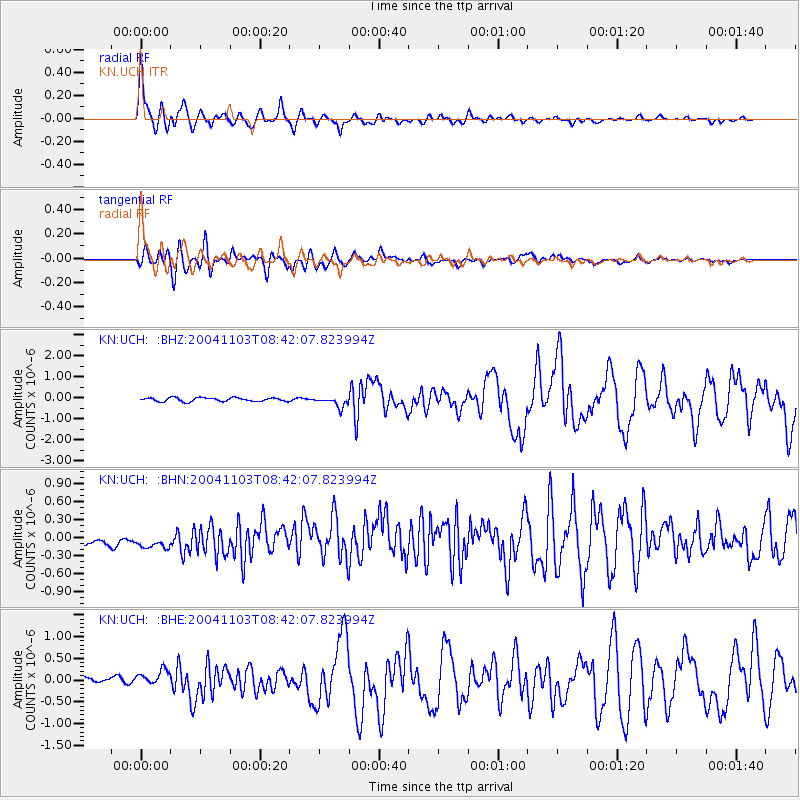
Signal To Noise
| Channel | StoN | STA | LTA |
| KN:UCH: :BHN:20041103T08:42:07.823994Z | 1.5434365 | 2.1215487E-7 | 1.3745617E-7 |
| KN:UCH: :BHE:20041103T08:42:07.823994Z | 2.3021722 | 2.0862396E-7 | 9.062049E-8 |
| KN:UCH: :BHZ:20041103T08:42:07.823994Z | 2.7757344 | 2.4173744E-7 | 8.708953E-8 |
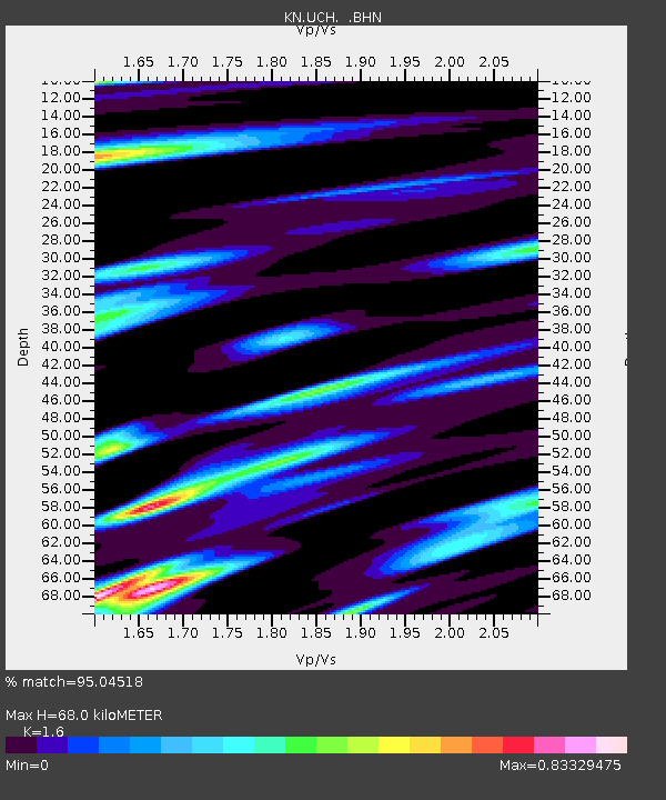
| Arrivals | |
| Ps | 6.7 SECOND |
| PpPs | 27 SECOND |
| PsPs/PpSs | 34 SECOND |

