UCH KN.UCH - Earthquake Result Viewer
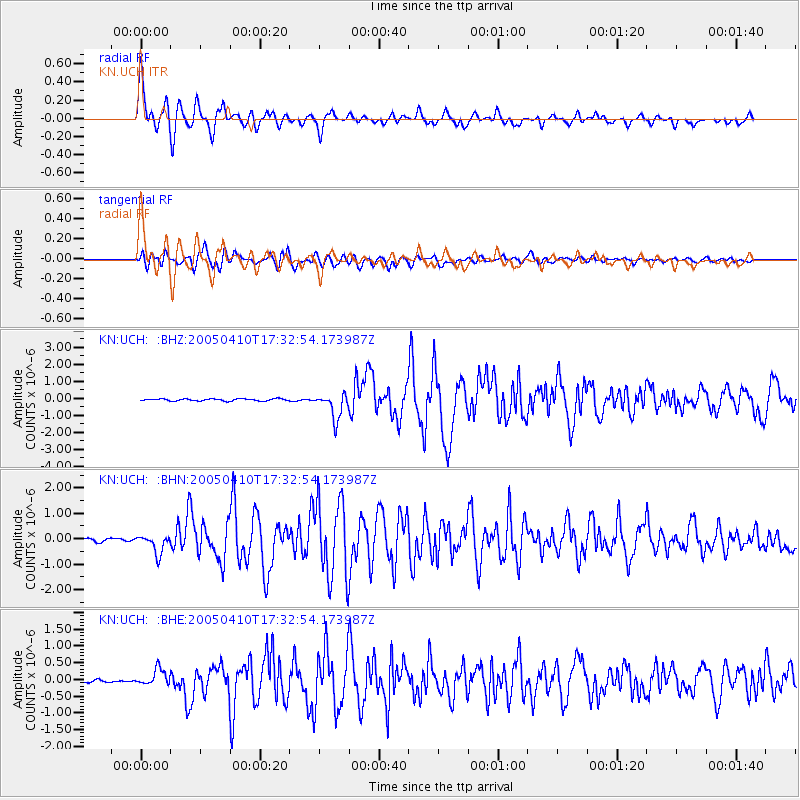
Earthquake location: Southern Sumatra, Indonesia
Earthquake latitude/longitude: -1.6/99.7
Earthquake time(UTC): 2005/04/10 (100) 17:24:39 GMT
Earthquake Depth: 30 km
Earthquake Magnitude: 5.9 MB, 6.2 MS, 6.4 MW, 6.1 MW
Earthquake Catalog/Contributor: WHDF/NEIC
Network: KN Kyrgyz Seismic Telemetry Network
Station: UCH KN.UCH
Lat/Lon: 42.23 N/74.51 E
Elevation: 3850 m
Distance: 49.2 deg
Az: 335.308 deg
Baz: 145.789 deg
Ray Param: 0.06879176
Estimated Moho Depth: 11.25 km
Estimated Crust Vp/Vs: 1.60
Assumed Crust Vp: 6.306 km/s
Estimated Crust Vs: 3.941 km/s
Estimated Crust Poisson's Ratio: 0.18
Radial Match: 93.88181 %
Radial Bump: 400
Transverse Match: 84.70644 %
Transverse Bump: 400
SOD ConfigId: 2459
Insert Time: 2010-03-08 21:30:34.028 +0000
GWidth: 2.5
Max Bumps: 400
Tol: 0.001

Signal To Noise

ChannelStoNSTALTA
KN:UCH: :BHN:20050410T17:32:54.173987Z6.17133473.742369E-76.064116E-8
KN:UCH: :BHE:20050410T17:32:54.173987Z3.45920282.3581451E-76.8170195E-8
KN:UCH: :BHZ:20050410T17:32:54.173987Z12.4301017.503382E-76.0364606E-8
Arrivals
Ps1.1 SECOND
PpPs4.4 SECOND
PsPs/PpSs5.5 SECOND