UCH KN.UCH - Earthquake Result Viewer
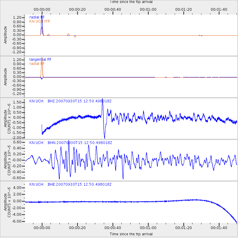
Earthquake location: South Of Mariana Islands
Earthquake latitude/longitude: 10.5/145.6
Earthquake time(UTC): 2007/09/30 (273) 15:02:18 GMT
Earthquake Depth: 24 km
Earthquake Magnitude: 5.8 MB, 5.1 MS, 5.5 MW, 5.4 MW
Earthquake Catalog/Contributor: WHDF/NEIC
Network: KN Kyrgyz Seismic Telemetry Network
Station: UCH KN.UCH
Lat/Lon: 42.23 N/74.51 E
Elevation: 3850 m
Distance: 69.0 deg
Az: 311.189 deg
Baz: 94.85 deg
Ray Param: 0.05590555
Estimated Moho Depth: 10.0 km
Estimated Crust Vp/Vs: 1.60
Assumed Crust Vp: 6.306 km/s
Estimated Crust Vs: 3.941 km/s
Estimated Crust Poisson's Ratio: 0.18
Radial Match: 99.98414 %
Radial Bump: 7
Transverse Match: 98.74988 %
Transverse Bump: 106
SOD ConfigId: 2564
Insert Time: 2010-03-08 21:31:03.328 +0000
GWidth: 2.5
Max Bumps: 400
Tol: 0.001

Signal To Noise

ChannelStoNSTALTA
KN:UCH: :BHN:20070930T15:12:50.498018Z0.55244097.440063E-81.346762E-7
KN:UCH: :BHE:20070930T15:12:50.498018Z0.922794.632606E-75.020217E-7
KN:UCH: :BHZ:20070930T15:12:50.498018Z1.675168.130645E-74.8536526E-7
Arrivals
Ps1.0 SECOND
PpPs4.0 SECOND
PsPs/PpSs4.9 SECOND