ULHL KN.ULHL - Earthquake Result Viewer
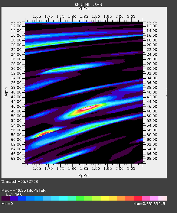
Earthquake location: Irian Jaya Region, Indonesia
Earthquake latitude/longitude: -4.0/135.0
Earthquake time(UTC): 2004/02/07 (038) 02:42:35 GMT
Earthquake Depth: 10 km
Earthquake Magnitude: 6.2 MB, 7.5 MS, 7.3 MW, 7.3 MW
Earthquake Catalog/Contributor: WHDF/NEIC
Network: KN Kyrgyz Seismic Telemetry Network
Station: ULHL KN.ULHL
Lat/Lon: 42.25 N/76.24 E
Elevation: 2040 m
Distance: 70.3 deg
Az: 317.58 deg
Baz: 115.0 deg
Ray Param: 0.055089783
Estimated Moho Depth: 46.25 km
Estimated Crust Vp/Vs: 1.87
Assumed Crust Vp: 6.306 km/s
Estimated Crust Vs: 3.381 km/s
Estimated Crust Poisson's Ratio: 0.30
Radial Match: 95.72728 %
Radial Bump: 355
Transverse Match: 86.74508 %
Transverse Bump: 321
SOD ConfigId: 2459
Insert Time: 2010-03-08 22:00:51.195 +0000
GWidth: 2.5
Max Bumps: 400
Tol: 0.001

Signal To Noise

ChannelStoNSTALTA
KN:ULHL: :BHN:20040207T02:53:17.350015Z1.30532491.213812E-79.298927E-8
KN:ULHL: :BHE:20040207T02:53:17.350015Z2.88350445.018519E-71.7404236E-7
KN:ULHL: :BHZ:20040207T02:53:17.350015Z8.2575349.173124E-71.1108793E-7
Arrivals
Ps6.6 SECOND
PpPs20 SECOND
PsPs/PpSs27 SECOND