ARMA Armidale, New South Wales - Earthquake Result Viewer
Earthquake location: Southern Sumatra, Indonesia
Earthquake latitude/longitude: -2.5/100.0
Earthquake time(UTC): 2008/02/25 (056) 08:36:33 GMT
Earthquake Depth: 25 km
Earthquake Magnitude: 6.4 MB, 7.3 MS, 7.0 MW, 6.9 MW
Earthquake Catalog/Contributor: WHDF/NEIC
Network: AU Australian Seismological Centre
Station: ARMA Armidale, New South Wales
Lat/Lon: 30.42 S/151.63 E
Elevation: 1112 m
Distance: 56.1 deg
Az: 125.329 deg
Baz: 289.34 deg
Ray Param: 0.06429575
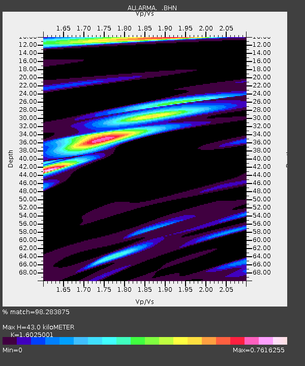
Estimated Moho Depth: 43.0 km
Estimated Crust Vp/Vs: 1.60
Assumed Crust Vp: 6.577 km/s
Estimated Crust Vs: 4.104 km/s
Estimated Crust Poisson's Ratio: 0.18
Radial Match: 98.283875 %
Radial Bump: 285
Transverse Match: 90.67286 %
Transverse Bump: 400
SOD ConfigId: 2564
Insert Time: 2010-03-08 23:28:44.045 +0000
GWidth: 2.5
Max Bumps: 400
Tol: 0.001

Signal To Noise

ChannelStoNSTALTA
AU:ARMA: :BHN:20080225T08:45:39.519014Z1.13386752.763425E-72.4371673E-7
AU:ARMA: :BHE:20080225T08:45:39.519014Z2.6553065.793777E-72.1819619E-7
AU:ARMA: :BHZ:20080225T08:45:39.519014Z2.22696738.3117925E-73.732337E-7
Arrivals
Ps4.2 SECOND
PpPs16 SECOND
PsPs/PpSs20 SECOND