FORT Forrest, Western Australia - Earthquake Result Viewer
Earthquake location: Kermadec Islands, New Zealand
Earthquake latitude/longitude: -30.2/-178.0
Earthquake time(UTC): 2009/01/18 (018) 14:11:48 GMT
Earthquake Depth: 33 km
Earthquake Magnitude: 6.0 MB, 6.1 MS, 6.4 MW, 6.4 MW
Earthquake Catalog/Contributor: WHDF/NEIC
Network: AU Australian Seismological Centre
Station: FORT Forrest, Western Australia
Lat/Lon: 30.78 S/128.06 E
Elevation: 165 m
Distance: 46.1 deg
Az: 254.92 deg
Baz: 103.765 deg
Ray Param: 0.070766374
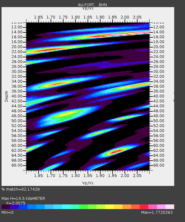
Estimated Moho Depth: 14.5 km
Estimated Crust Vp/Vs: 2.01
Assumed Crust Vp: 6.479 km/s
Estimated Crust Vs: 3.228 km/s
Estimated Crust Poisson's Ratio: 0.33
Radial Match: 82.17426 %
Radial Bump: 400
Transverse Match: 72.715744 %
Transverse Bump: 400
SOD ConfigId: 2658
Insert Time: 2010-03-08 23:57:37.896 +0000
GWidth: 2.5
Max Bumps: 400
Tol: 0.001

Signal To Noise

ChannelStoNSTALTA
AU:FORT: :BHN:20090118T14:19:39.550002Z7.0398512.3623043E-63.3556168E-7
AU:FORT: :BHE:20090118T14:19:39.550002Z1.22556174.9865525E-74.0687894E-7
AU:FORT: :BHZ:20090118T14:19:39.550002Z6.70517642.5142474E-63.749711E-7
Arrivals
Ps2.4 SECOND
PpPs6.4 SECOND
PsPs/PpSs8.7 SECOND