XMIS Christmas Island, Australia - Earthquake Result Viewer
Earthquake location: Near East Coast Of Honshu, Japan
Earthquake latitude/longitude: 36.2/141.5
Earthquake time(UTC): 2008/05/07 (128) 16:45:20 GMT
Earthquake Depth: 39 km
Earthquake Magnitude: 6.1 MB, 6.7 MS, 6.8 MW, 6.8 MW
Earthquake Catalog/Contributor: WHDF/NEIC
Network: AU Australian Seismological Centre
Station: XMIS Christmas Island, Australia
Lat/Lon: 10.48 S/105.65 E
Elevation: 244 m
Distance: 57.4 deg
Az: 223.164 deg
Baz: 34.256 deg
Ray Param: 0.06344171
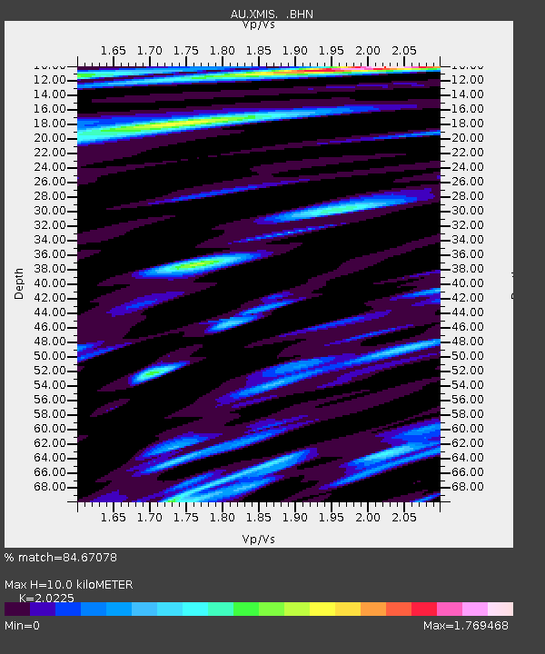
Estimated Moho Depth: 10.0 km
Estimated Crust Vp/Vs: 2.02
Assumed Crust Vp: 4.157 km/s
Estimated Crust Vs: 2.055 km/s
Estimated Crust Poisson's Ratio: 0.34
Radial Match: 84.67078 %
Radial Bump: 400
Transverse Match: 69.44147 %
Transverse Bump: 400
SOD ConfigId: 2504
Insert Time: 2010-03-09 00:35:43.330 +0000
GWidth: 2.5
Max Bumps: 400
Tol: 0.001

Signal To Noise

ChannelStoNSTALTA
AU:XMIS: :BHN:20080507T16:54:34.170005Z8.9057595.318389E-65.9718536E-7
AU:XMIS: :BHE:20080507T16:54:34.170005Z2.65233952.4346782E-69.179362E-7
AU:XMIS: :BHZ:20080507T16:54:34.170005Z2.16508082.1733388E-61.0038142E-6
Arrivals
Ps2.5 SECOND
PpPs7.1 SECOND
PsPs/PpSs9.6 SECOND