RSFG XB.RSFG - Earthquake Result Viewer
Earthquake location: South Of Australia
Earthquake latitude/longitude: -42.8/124.7
Earthquake time(UTC): 2001/12/12 (346) 14:02:35 GMT
Earthquake Depth: 10 km
Earthquake Magnitude: 6.5 MB, 6.7 MS, 7.1 MW, 7.0 MW
Earthquake Catalog/Contributor: WHDF/NEIC
Network: XB Marlborough New Zealand Short-Period Arrays
Station: RSFG XB.RSFG
Lat/Lon: 41.91 S/172.91 E
Elevation: 737 m
Distance: 35.3 deg
Az: 105.361 deg
Baz: 251.914 deg
Ray Param: 0.07731739
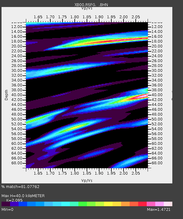
Estimated Moho Depth: 40.0 km
Estimated Crust Vp/Vs: 2.10
Assumed Crust Vp: 6.289 km/s
Estimated Crust Vs: 3.002 km/s
Estimated Crust Poisson's Ratio: 0.35
Radial Match: 81.07762 %
Radial Bump: 400
Transverse Match: 75.3293 %
Transverse Bump: 400
SOD ConfigId: 16820
Insert Time: 2010-03-09 01:03:55.057 +0000
GWidth: 2.5
Max Bumps: 400
Tol: 0.001

Signal To Noise

ChannelStoNSTALTA
XB:RSFG: :BHN:20011212T14:08:58.960013Z1.67593371.663403E-69.925232E-7
XB:RSFG: :BHE:20011212T14:08:58.960013Z0.804601257.9638784E-79.897919E-7
XB:RSFG: :BHZ:20011212T14:08:58.960013Z2.27258562.0352784E-68.955783E-7
Arrivals
Ps7.4 SECOND
PpPs19 SECOND
PsPs/PpSs26 SECOND