CSD XT.CSD - Earthquake Result Viewer
Earthquake location: Peru-Bolivia Border Region
Earthquake latitude/longitude: -13.7/-68.8
Earthquake time(UTC): 1997/11/28 (332) 22:53:41 GMT
Earthquake Depth: 586 km
Earthquake Magnitude: 6.4 MB, 6.6 UNKNOWN, 6.6 MW
Earthquake Catalog/Contributor: WHDF/NEIC
Network: XT Colorado BB Array - Lodore
Station: CSD XT.CSD
Lat/Lon: 40.44 N/108.28 W
Elevation: 1931 m
Distance: 65.2 deg
Az: 327.666 deg
Baz: 137.083 deg
Ray Param: 0.056272637
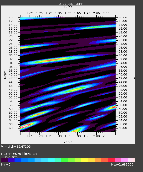
Estimated Moho Depth: 66.75 km
Estimated Crust Vp/Vs: 1.62
Assumed Crust Vp: 6.207 km/s
Estimated Crust Vs: 3.82 km/s
Estimated Crust Poisson's Ratio: 0.20
Radial Match: 82.67103 %
Radial Bump: 400
Transverse Match: 78.455086 %
Transverse Bump: 400
SOD ConfigId: 4480
Insert Time: 2010-03-09 01:29:16.684 +0000
GWidth: 2.5
Max Bumps: 400
Tol: 0.001

Signal To Noise

ChannelStoNSTALTA
XT:CSD: :BHN:19971128T23:02:54.848999Z22.6510281.1981977E-55.289816E-7
XT:CSD: :BHE:19971128T23:02:54.848999Z4.68731983.0870817E-66.586028E-7
XT:CSD: :BHZ:19971128T23:02:54.848999Z3.72181152.5660836E-66.894717E-7
Arrivals
Ps7.0 SECOND
PpPs27 SECOND
PsPs/PpSs34 SECOND