TANK XT.TANK - Earthquake Result Viewer
Earthquake location: Peru-Brazil Border Region
Earthquake latitude/longitude: -8.1/-74.2
Earthquake time(UTC): 1998/04/03 (093) 22:01:48 GMT
Earthquake Depth: 165 km
Earthquake Magnitude: 6.1 MB, 5.6 MS, 6.6 UNKNOWN, 6.6 MW
Earthquake Catalog/Contributor: WHDF/NEIC
Network: XT Colorado BB Array - Lodore
Station: TANK XT.TANK
Lat/Lon: 40.41 N/108.74 W
Elevation: 2441 m
Distance: 57.8 deg
Az: 329.28 deg
Baz: 138.523 deg
Ray Param: 0.062701575
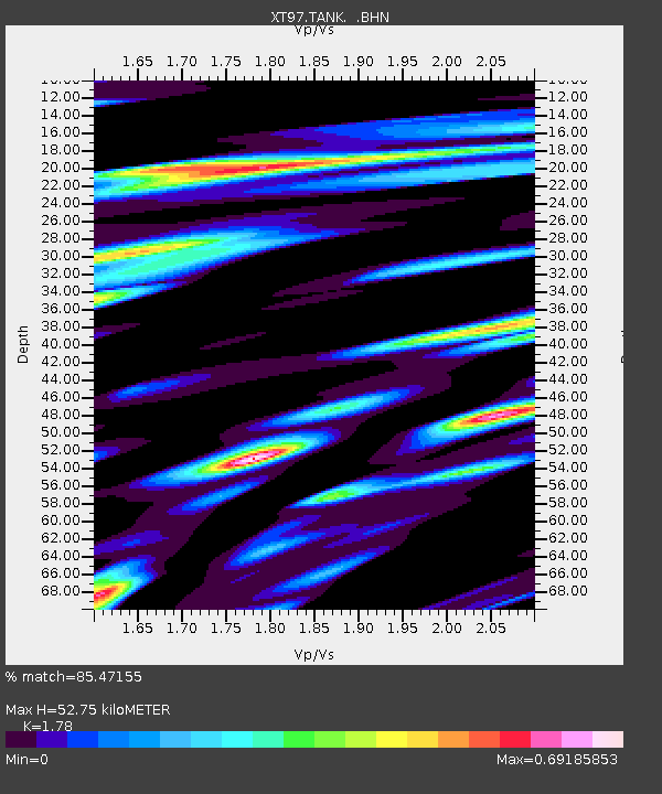
Estimated Moho Depth: 52.75 km
Estimated Crust Vp/Vs: 1.78
Assumed Crust Vp: 6.207 km/s
Estimated Crust Vs: 3.487 km/s
Estimated Crust Poisson's Ratio: 0.27
Radial Match: 85.47155 %
Radial Bump: 400
Transverse Match: 81.744286 %
Transverse Bump: 400
SOD ConfigId: 4480
Insert Time: 2010-03-09 01:47:42.984 +0000
GWidth: 2.5
Max Bumps: 400
Tol: 0.001

Signal To Noise

ChannelStoNSTALTA
XT:TANK: :BHN:19980403T22:10:51.850024Z4.36610136.90308E-71.5810629E-7
XT:TANK: :BHE:19980403T22:10:51.850024Z1.73753792.4470125E-71.4083219E-7
XT:TANK: :BHZ:19980403T22:10:51.850024Z1.70713162.2370133E-71.310393E-7
Arrivals
Ps6.9 SECOND
PpPs23 SECOND
PsPs/PpSs30 SECOND