DAWA Dawasamu - Earthquake Result Viewer
Earthquake location: Taiwan Region
Earthquake latitude/longitude: 24.0/122.7
Earthquake time(UTC): 2001/12/18 (352) 04:02:58 GMT
Earthquake Depth: 14 km
Earthquake Magnitude: 6.3 MB, 7.3 MS, 6.9 MW, 6.8 MW
Earthquake Catalog/Contributor: WHDF/NEIC
Network: XT Seismic Array in Fiji and Tonga
Station: DAWA Dawasamu
Lat/Lon: 17.62 S/178.50 E
Elevation: 91 m
Distance: 68.3 deg
Az: 121.957 deg
Baz: 305.518 deg
Ray Param: 0.05637199
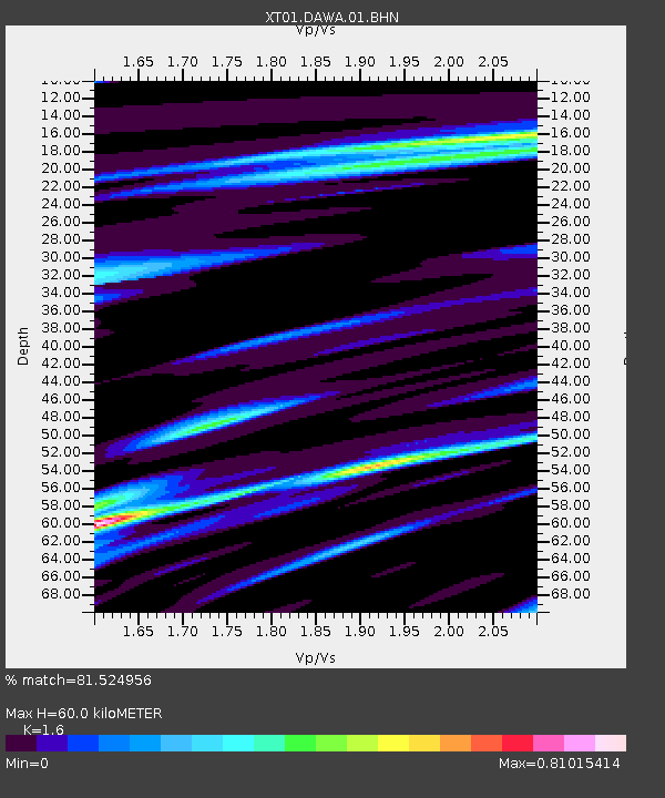
Estimated Moho Depth: 60.0 km
Estimated Crust Vp/Vs: 1.60
Assumed Crust Vp: 5.195 km/s
Estimated Crust Vs: 3.247 km/s
Estimated Crust Poisson's Ratio: 0.18
Radial Match: 81.524956 %
Radial Bump: 400
Transverse Match: 74.23155 %
Transverse Bump: 400
SOD ConfigId: 16820
Insert Time: 2010-03-09 01:51:42.823 +0000
GWidth: 2.5
Max Bumps: 400
Tol: 0.001

Signal To Noise

ChannelStoNSTALTA
XT:DAWA:01:BHN:20011218T04:13:27.681001Z1.21639621.6655569E-61.3692552E-6
XT:DAWA:01:BHE:20011218T04:13:27.681001Z1.07430118.313088E-77.7381355E-7
XT:DAWA:01:BHZ:20011218T04:13:27.681001Z4.4044712.74856E-66.240386E-7
Arrivals
Ps7.1 SECOND
PpPs29 SECOND
PsPs/PpSs36 SECOND