You are here: Home > Network List > UW - Pacific Northwest Regional Seismic Network Stations List
> Station IRON Crane, OR, USA > Earthquake Result Viewer
IRON Crane, OR, USA - Earthquake Result Viewer
*The percent match for this event was below the threshold and hence no stack was calculated.
| Earthquake location: |
Near Coast Of Northern Peru |
| Earthquake latitude/longitude: |
-3.9/-81.8 |
| Earthquake time(UTC): |
2020/10/18 (292) 06:58:29 GMT |
| Earthquake Depth: |
10 km |
| Earthquake Magnitude: |
5.5 Mww |
| Earthquake Catalog/Contributor: |
NEIC PDE/us |
|
| Network: |
UW Pacific Northwest Regional Seismic Network |
| Station: |
IRON Crane, OR, USA |
| Lat/Lon: |
43.36 N/118.47 W |
| Elevation: |
1226 m |
|
| Distance: |
57.5 deg |
| Az: |
328.924 deg |
| Baz: |
135.083 deg |
| Ray Param: |
$rayparam |
*The percent match for this event was below the threshold and hence was not used in the summary stack. |
|
| Radial Match: |
43.639397 % |
| Radial Bump: |
400 |
| Transverse Match: |
55.340626 % |
| Transverse Bump: |
400 |
| SOD ConfigId: |
22732711 |
| Insert Time: |
2020-11-01 07:30:29.861 +0000 |
| GWidth: |
2.5 |
| Max Bumps: |
400 |
| Tol: |
0.001 |
|
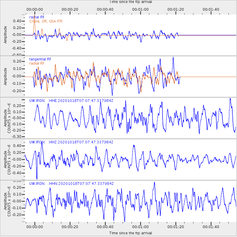
Signal To Noise
| Channel | StoN | STA | LTA |
| UW:IRON: :HHZ:20201018T07:07:47.337984Z | 2.827538 | 2.6222224E-7 | 9.2738716E-8 |
| UW:IRON: :HHN:20201018T07:07:47.337984Z | 0.81941456 | 5.8166844E-8 | 7.0985855E-8 |
| UW:IRON: :HHE:20201018T07:07:47.337984Z | 1.287729 | 1.2844824E-7 | 9.974787E-8 |
| Arrivals |
| Ps | |
| PpPs | |
| PsPs/PpSs | |


