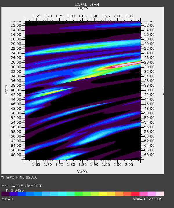
PAL Palisades, New York - Earthquake Result Viewer

Earthquake location: Near Coast Of Guerrero, Mexico
Earthquake latitude/longitude: 16.3/-98.2
Earthquake time(UTC): 1997/07/19 (200) 14:22:08 GMT
Earthquake Depth: 33 km
Earthquake Magnitude: 5.7 MB, 6.3 MS, 6.8 UNKNOWN, 6.0 ME
Earthquake Catalog/Contributor: WHDF/NEIC
Network: LD Lamont-Doherty Cooperative Seismographic Network
Station: PAL Palisades, New York
Lat/Lon: 41.01 N/73.91 W
Elevation: 66 m
Distance: 32.3 deg
Az: 35.622 deg
Baz: 227.639 deg
Ray Param: 0.07864516
Estimated Moho Depth: 28.5 km
Estimated Crust Vp/Vs: 2.04
Assumed Crust Vp: 6.472 km/s
Estimated Crust Vs: 3.169 km/s
Estimated Crust Poisson's Ratio: 0.34
Radial Match: 96.02316 %
Radial Bump: 355
Transverse Match: 79.35589 %
Transverse Bump: 400
SOD ConfigId: 6273
Insert Time: 2010-03-09 03:01:27.231 +0000
GWidth: 2.5
Max Bumps: 400
Tol: 0.001

Signal To Noise

ChannelStoNSTALTA
LD:PAL: :BHN:19970719T14:28:04.534991Z1.7964313.8850095E-72.1626266E-7
LD:PAL: :BHE:19970719T14:28:04.534991Z1.90738953.7254736E-71.9531792E-7
LD:PAL: :BHZ:19970719T14:28:04.534991Z3.1501197.734338E-72.4552526E-7
Arrivals
Ps4.9 SECOND
PpPs13 SECOND
PsPs/PpSs17 SECOND