SEAL Seal Rock Campground - Earthquake Result Viewer
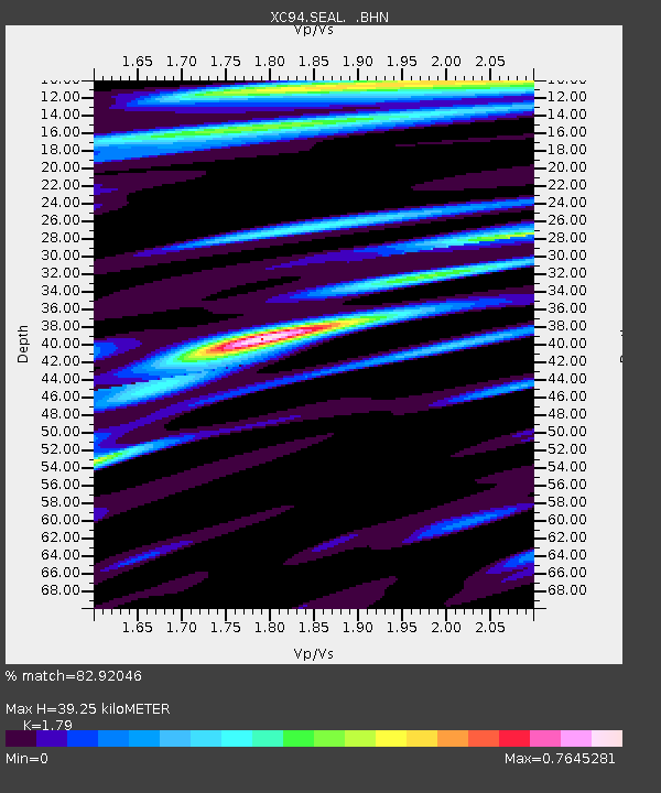
Earthquake location: Tonga Islands
Earthquake latitude/longitude: -21.5/-173.7
Earthquake time(UTC): 1994/04/27 (117) 09:23:27 GMT
Earthquake Depth: 35 km
Earthquake Magnitude: 6.2 MB, 6.1 MS, 6.0 UNKNOWN, 6.4 MW
Earthquake Catalog/Contributor: WHDF/NEIC
Network: XC Puget Sound BB Array
Station: SEAL Seal Rock Campground
Lat/Lon: 47.71 N/122.89 W
Elevation: 24 m
Distance: 82.6 deg
Az: 31.866 deg
Baz: 226.726 deg
Ray Param: 0.04673165
Estimated Moho Depth: 39.25 km
Estimated Crust Vp/Vs: 1.79
Assumed Crust Vp: 6.566 km/s
Estimated Crust Vs: 3.668 km/s
Estimated Crust Poisson's Ratio: 0.27
Radial Match: 82.92046 %
Radial Bump: 400
Transverse Match: 86.79783 %
Transverse Bump: 400
SOD ConfigId: 16938
Insert Time: 2010-02-26 15:11:24.263 +0000
GWidth: 2.5
Max Bumps: 400
Tol: 0.001

Signal To Noise

ChannelStoNSTALTA
XC:SEAL: :BHN:19940427T09:35:15.575Z1.62330033.1729667E-71.9546394E-7
XC:SEAL: :BHE:19940427T09:35:15.575Z0.9179492.1176814E-72.3069707E-7
XC:SEAL: :BHZ:19940427T09:35:15.575Z4.19124849.588437E-72.287728E-7
Arrivals
Ps4.9 SECOND
PpPs16 SECOND
PsPs/PpSs21 SECOND