KOM Kota Tinggi - Earthquake Result Viewer
Earthquake location: Vanuatu Islands
Earthquake latitude/longitude: -17.8/167.9
Earthquake time(UTC): 2009/06/02 (153) 02:17:03 GMT
Earthquake Depth: 15 km
Earthquake Magnitude: 5.7 MB, 6.2 MS, 6.3 MW, 6.3 MW
Earthquake Catalog/Contributor: WHDF/NEIC
Network: MY Malaysian National Seismic Network
Station: KOM Kota Tinggi
Lat/Lon: 1.79 N/103.85 E
Elevation: 49 m
Distance: 66.0 deg
Az: 280.21 deg
Baz: 110.23 deg
Ray Param: 0.057886712
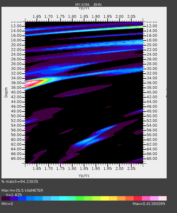
Estimated Moho Depth: 35.5 km
Estimated Crust Vp/Vs: 1.62
Assumed Crust Vp: 6.24 km/s
Estimated Crust Vs: 3.84 km/s
Estimated Crust Poisson's Ratio: 0.20
Radial Match: 94.23835 %
Radial Bump: 260
Transverse Match: 38.10083 %
Transverse Bump: 400
SOD ConfigId: 2648
Insert Time: 2010-03-09 03:30:03.534 +0000
GWidth: 2.5
Max Bumps: 400
Tol: 0.001

Signal To Noise

ChannelStoNSTALTA
MY:KOM: :BHN:20090602T02:27:18.119009Z7.39593553.253202E-74.3986347E-8
MY:KOM: :BHE:20090602T02:27:18.119009Z0.95574981.3550515E-71.417789E-7
MY:KOM: :BHZ:20090602T02:27:18.119009Z0.942453741.0487346E-71.1127703E-7
Arrivals
Ps3.7 SECOND
PpPs14 SECOND
PsPs/PpSs18 SECOND