
KSM Kuching - Earthquake Result Viewer
| ||||||||||||||||||
| ||||||||||||||||||
| ||||||||||||||||||
|

Signal To Noise
| Channel | StoN | STA | LTA |
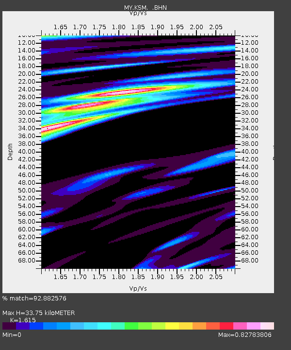
| MY:KSM: :BHN:20090224T06:04:44.769011Z | 11.130345 | 8.1502145E-7 | 7.322517E-8 |
| MY:KSM: :BHE:20090224T06:04:44.769011Z | 2.4232175 | 1.487553E-7 | 6.138752E-8 |
| MY:KSM: :BHZ:20090224T06:04:44.769011Z | 6.7379885 | 3.715451E-7 | 5.5141847E-8 |
| Arrivals | |
| Ps | 3.5 SECOND |
| PpPs | 13 SECOND |
| PsPs/PpSs | 16 SECOND |

